Earthquake SUMBA REGION, INDONESIA
Thu, 08 Jan 2026 13:42:16 GMT
Time1 month ago
Location
-10.3900, 120.0500
Depth
13.0 KM
Event Summary
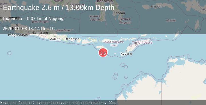
A 2.6 magnitude earthquake struck on SUMBA REGION, INDONESIA, at Thu, 08 Jan 2026 13:42:16 GMT. Depth: 13km. Reviewed by BMKG seismologists, this minor quake occurred at a magnitude type of m.
Magnitude
2.6
m
Source
BMKG
Intensity
-
Agency Reports
1 Sources| Source | Magnitude | Depth | Time |
|---|---|---|---|
| BMKGPrimary | 2.6 | 13 km | 1 month ago |
Earthquake Details
AutomaticEvent IDemsc_BMKG_20260108_0000192
Tsunami PotentialNo
Magnitude Typem
Nearest Places
- Pulau Mangudu9.9 km
- Pulau Koatak17.4 km
- Desa Praisalura17.6 km
- Pulau Salura18.1 km
- Tanjung Hauli20.9 km
Comments
Join the discussion about this event.
Latest Earthquakes
1.6Mag
Southern Alaska
Time7 minutes ago
Depth48.58 km
SourceVYT (Automatic)
2.3Mag
Antofagasta, Chile
Time9 minutes ago
Depth82.15 km
SourceVYT (Automatic)
2.1Mag
Southern Alaska
Time11 minutes ago
Depth64.21 km
SourceVYT (Automatic)
2.5Mag
Central Alaska
Time17 minutes ago
Depth312.99 km
SourceVYT (Automatic)
3.6Mag
Banda Sea
Time23 minutes ago
Depth0.00 km
SourceVYT (Automatic)
Nearby Earthquakes
5.1Mag
SUMBA REGION, INDONESIA
Time6 years ago
Depth47.00 km
SourceEMSC (Automatic)
5.0Mag
SUMBA REGION, INDONESIA
Time2 years ago
Depth10.00 km
SourceEMSC (Automatic)
3.0Mag
SUMBA REGION, INDONESIA
Time1 year ago
Depth15.00 km
SourceBMKG (Automatic)
5.3Mag
SUMBA REGION, INDONESIA
Time7 years ago
Depth10.00 km
SourceEMSC (Automatic)
2.7Mag
Sumba Region, Indonesia
Time3 weeks ago
Depth14.72 km
SourceBMKG (Automatic)