Earthquake NEAR N COAST OF PAPUA, INDONESIA
Thu, 08 Jan 2026 19:02:17 GMT
Time1 month ago
Location
-2.9200, 134.8800
Depth
103.0 KM
Event Summary
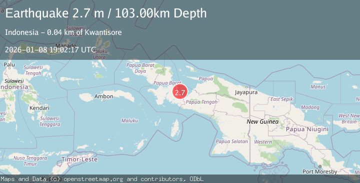
A 2.7 magnitude earthquake struck on NEAR N COAST OF PAPUA, INDONESIA, at Thu, 08 Jan 2026 19:02:17 GMT. Depth: 103km. Reviewed by BMKG seismologists, this minor quake occurred at a magnitude type of m.
Magnitude
2.7
m
Source
BMKG
Intensity
-
Agency Reports
1 Sources| Source | Magnitude | Depth | Time |
|---|---|---|---|
| BMKGPrimary | 2.7 | 103 km | 1 month ago |
Earthquake Details
AutomaticEvent IDemsc_BMKG_20260108_0000271
Tsunami PotentialNo
Magnitude Typem
Nearest Places
- Tanjung Mangguar5.1 km
- Napan-yaur5.2 km
- Drie Gebroeders5.6 km
- Pulau Numangguri8.2 km
- Kampung Napan Yaur9.0 km
Comments
Join the discussion about this event.
Latest Earthquakes
1.3Mag
Southeastern Alaska
Time5 hours ago
Depth0.00 km
SourceVYT (Automatic)
4.6Mag
Tarapaca, Chile
Time5 hours ago
Depth115.11 km
SourceVYT (Automatic)
1.1Mag
Czech Republic
Time5 hours ago
Depth0.00 km
SourceVYT (Automatic)
1.9Mag
Central Alaska
Time5 hours ago
Depth141.85 km
SourceVYT (Automatic)
2.7Mag
western Texas
Time5 hours ago
Depth0.00 km
SourceVYT (Automatic)
Nearby Earthquakes
2.5Mag
PAPUA, INDONESIA
Time1 month ago
Depth10.00 km
SourceBMKG (Automatic)
3.0Mag
PAPUA, INDONESIA
Time1 month ago
Depth10.00 km
SourceBMKG (Automatic)
3.6Mag
West Papua Region, Indonesia
Time3 weeks ago
Depth10.00 km
SourceBMKG (Automatic)
3.3Mag
NEAR N COAST OF PAPUA, INDONESIA
Time1 month ago
Depth10.00 km
SourceBMKG (Automatic)
6.0Mag
PAPUA, INDONESIA
Time13 years ago
Depth10.00 km
SourceEMSC (Automatic)