Earthquake Southeastern Alaska
Wed, 18 Feb 2026 13:11:30 GMT
Time1 hour ago
Location
60.0929, -140.0347
Depth
0.0 KM
Event Summary
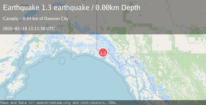
A 1.3 magnitude earthquake struck on Southeastern Alaska, at Wed, 18 Feb 2026 13:11:30 GMT. Depth: 0km. Reviewed by VYT seismologists, this minor quake occurred at a magnitude type of earthquake.
Magnitude
1.3
earthquake
Source
VYT
Intensity
-
Agency Reports
1 Sources| Source | Magnitude | Depth | Time |
|---|---|---|---|
| VYTPrimary | 1.3 | 0 km | 1 hour ago |
Earthquake Details
AutomaticEvent IDvyt_1q8fr7ejnpa3e
Tsunami PotentialNo
Magnitude Typeearthquake
Nearest Places
- Hayden Glacier6.0 km
- Blossom Glacier7.1 km
- Mount Cook10.3 km
- Mount Cook10.3 km
- Blossom Island10.9 km
Comments
Join the discussion about this event.
Latest Earthquakes
4.6Mag
Tarapaca, Chile
Time1 hour ago
Depth115.11 km
SourceVYT (Automatic)
1.1Mag
Czech Republic
Time1 hour ago
Depth0.00 km
SourceVYT (Automatic)
1.9Mag
Central Alaska
Time1 hour ago
Depth141.85 km
SourceVYT (Automatic)
2.7Mag
western Texas
Time1 hour ago
Depth0.00 km
SourceVYT (Automatic)
2.3Mag
FRANCE
Time1 hour ago
Depth5.00 km
SourceReNaSS (Automatic)
Nearby Earthquakes
3.0Mag
SOUTHERN YUKON TERRITORY, CANADA
Time2 years ago
Depth11.20 km
SourceNEIC (Automatic)
3.0Mag
SOUTHERN YUKON TERRITORY, CANADA
Time4 years ago
Depth18.00 km
SourceNEIC (Automatic)
3.0Mag
SOUTHERN YUKON TERRITORY, CANADA
Time4 years ago
Depth10.00 km
SourceNEIC (Automatic)
3.0Mag
SOUTHERN YUKON TERRITORY, CANADA
Time4 years ago
Depth11.00 km
SourceNEIC (Automatic)
3.0Mag
SOUTHERN YUKON TERRITORY, CANADA
Time4 years ago
Depth18.00 km
SourceNEIC (Automatic)