Earthquake KEPULAUAN TALAUD, INDONESIA
Fri, 09 Jan 2026 23:57:51 GMT
Time1 month ago
Location
3.1800, 127.0800
Depth
70.0 KM
Event Summary
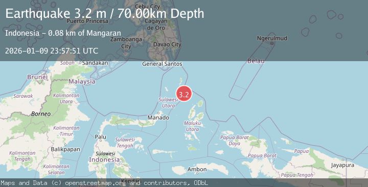
A 3.2 magnitude earthquake struck on KEPULAUAN TALAUD, INDONESIA, at Fri, 09 Jan 2026 23:57:51 GMT. Depth: 70km. Reviewed by BMKG seismologists, this minor quake occurred at a magnitude type of m.
Magnitude
3.2
m
Source
BMKG
Intensity
-
Agency Reports
1 Sources| Source | Magnitude | Depth | Time |
|---|---|---|---|
| BMKGPrimary | 3.2 | 70 km | 1 month ago |
Earthquake Details
AutomaticEvent IDemsc_BMKG_20260109_0000351
Tsunami PotentialNo
Magnitude Typem
Nearest Places
- Pulau Karis48.5 km
- Pulau Napumbalu56.5 km
- Tanjung Pallo67.4 km
- Tanjung Tatimbalangan67.8 km
- Damau68.3 km
Comments
Join the discussion about this event.
Latest Earthquakes
1.4Mag
Tarapaca, Chile
Time15 hours ago
Depth13.06 km
SourceVYT (Automatic)
1.2Mag
47 km ESE of McCarthy, Alaska
Time15 hours ago
Depth4.30 km
SourceUSGS (Automatic)
2.1Mag
WESTERN TEXAS
Time15 hours ago
Depth2.20 km
SourceTX (Automatic)
1.1Mag
11 km NE of San Martin, CA
Time15 hours ago
Depth9.10 km
SourceUSGS (Automatic)
2.8Mag
South of Java, Indonesia
Time15 hours ago
Depth14.91 km
SourceBMKG
Nearby Earthquakes
5.5Mag
KEPULAUAN TALAUD, INDONESIA
Time3 years ago
Depth10.00 km
SourceEMSC (Automatic)
5.4Mag
KEPULAUAN TALAUD, INDONESIA
Time6 years ago
Depth40.00 km
SourceEMSC (Automatic)
5.8Mag
KEPULAUAN TALAUD, INDONESIA
Time14 years ago
Depth30.00 km
SourceEMSC (Automatic)
3.3Mag
KEPULAUAN TALAUD, INDONESIA
Time1 month ago
Depth85.00 km
SourceBMKG (Automatic)
4.0Mag
KEPULAUAN TALAUD, INDONESIA
Time6 years ago
Depth10.00 km
SourceDJA (Automatic)