Earthquake 47 km ESE of McCarthy, Alaska
Wed, 18 Feb 2026 16:46:27 GMT
Time3 hours ago
Location
61.3260, -142.0560
Depth
4.3 KM
Event Summary
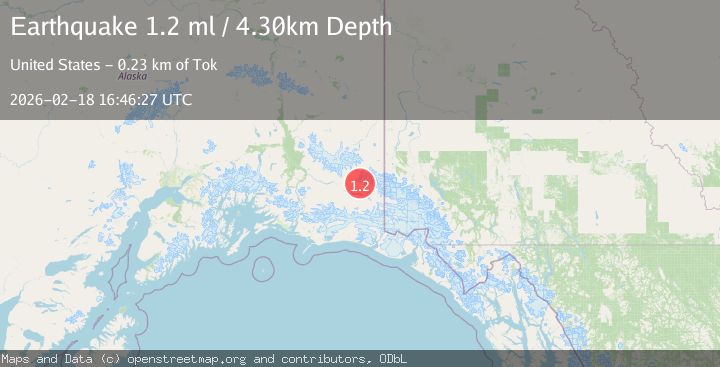
A 1.2 magnitude earthquake struck on 47 km ESE of McCarthy, Alaska, at Wed, 18 Feb 2026 16:46:27 GMT. Depth: 4.3km. Reviewed by USGS seismologists, this minor quake occurred at a magnitude type of ml.
Magnitude
1.2
ml
Source
USGS
Intensity
-
Agency Reports
1 Sources| Source | Magnitude | Depth | Time |
|---|---|---|---|
| USGSPrimary | 1.2 | 4 km | 3 hours ago |
Earthquake Details
AutomaticEvent IDusgs_aka2026dlkfmu
Tsunami PotentialNo
Magnitude Typeml
Nearest Places
- Twaharpies Glacier4.8 km
- Celeno Peak4.8 km
- Ocypete Peak6.3 km
- The Twaharpies6.3 km
- Aello Peak9.5 km
Comments
Join the discussion about this event.
Latest Earthquakes
2.7Mag
Tarapaca, Chile
Time3 hours ago
Depth10.50 km
SourceVYT (Automatic)
2.8Mag
Flores Sea
Time3 hours ago
Depth187.74 km
SourceVYT (Automatic)
1.4Mag
7 km ESE of Wrightwood, CA
Time3 hours ago
Depth11.86 km
SourceUSGS (Automatic)
1.4Mag
Tarapaca, Chile
Time3 hours ago
Depth13.06 km
SourceVYT (Automatic)
2.1Mag
WESTERN TEXAS
Time3 hours ago
Depth2.20 km
SourceTX (Automatic)
Nearby Earthquakes
1.1Mag
48 km ESE of McCarthy, Alaska
Time2 days ago
Depth74.10 km
SourceUSGS (Automatic)
1.2Mag
56 km E of McCarthy, Alaska
Time1 week ago
Depth5.00 km
SourceUSGS (Automatic)
0.9Mag
Southern Alaska
Time2 days ago
Depth3.54 km
SourceVYT (Automatic)
1.2Mag
68 km E of McCarthy, Alaska
Time3 weeks ago
Depth5.00 km
SourceUSGS (Automatic)
0.8Mag
Southern Alaska
Time3 days ago
Depth0.12 km
SourceVYT (Automatic)