Earthquake LOMBOK REGION, INDONESIA
Sat, 10 Jan 2026 07:48:39 GMT
Time1 month ago
Location
-8.4700, 116.9000
Depth
15.0 KM
Event Summary
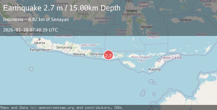
A 2.7 magnitude earthquake struck on LOMBOK REGION, INDONESIA, at Sat, 10 Jan 2026 07:48:39 GMT. Depth: 15km. Reviewed by BMKG seismologists, this minor quake occurred at a magnitude type of m.
Magnitude
2.7
m
Source
BMKG
Intensity
-
Agency Reports
1 Sources| Source | Magnitude | Depth | Time |
|---|---|---|---|
| BMKGPrimary | 2.7 | 15 km | 1 month ago |
Earthquake Details
AutomaticEvent IDemsc_BMKG_20260110_0000097
Tsunami PotentialNo
Magnitude Typem
Nearest Places
- Desa Labuhan Mapin3.0 km
- Pulau Panjang3.1 km
- Pulau Kalong4.4 km
- Olat Kalong4.6 km
- Pulau Takat Laut4.6 km
Comments
Join the discussion about this event.
Latest Earthquakes
1.7Mag
Central Alaska
Time13 hours ago
Depth10.00 km
SourceVYT (Automatic)
1.4Mag
17 km S of Tres Pinos, CA
Time13 hours ago
Depth5.12 km
SourceUSGS (Automatic)
1.8Mag
Southern Alaska
Time13 hours ago
Depth0.00 km
SourceVYT (Automatic)
2.0Mag
Java, Indonesia
Time13 hours ago
Depth5.00 km
SourceBMKG
0.7Mag
2 km SE of Loma Linda, CA
Time14 hours ago
Depth3.87 km
SourceUSGS (Automatic)
Nearby Earthquakes
3.0Mag
LOMBOK REGION, INDONESIA
Time4 years ago
Depth10.00 km
SourceDJA (Automatic)
4.0Mag
LOMBOK REGION, INDONESIA
Time7 years ago
Depth10.00 km
SourceDJA (Automatic)
4.0Mag
LOMBOK REGION, INDONESIA
Time7 years ago
Depth19.00 km
SourceNEIC (Automatic)
5.2Mag
LOMBOK REGION, INDONESIA
Time7 years ago
Depth10.00 km
SourceEMSC (Automatic)
5.6Mag
LOMBOK REGION, INDONESIA
Time7 years ago
Depth10.00 km
SourceEMSC (Automatic)