Earthquake SUMBAWA REGION, INDONESIA
Sat, 10 Jan 2026 10:27:00 GMT
Time1 month ago
Location
-9.5000, 118.0000
Depth
24.0 KM
Event Summary
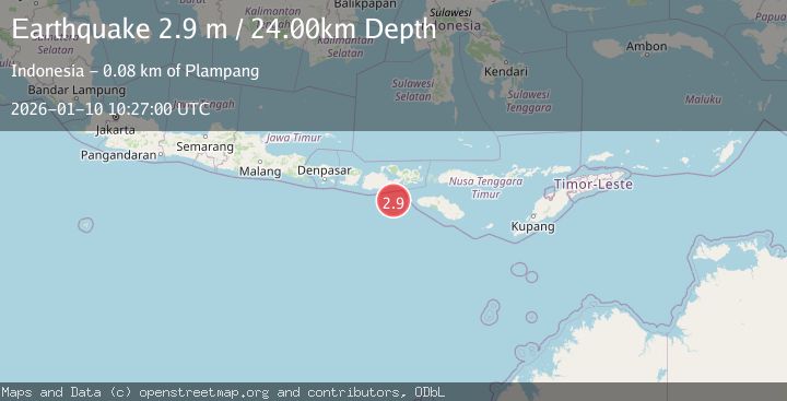
A 2.9 magnitude earthquake struck on SUMBAWA REGION, INDONESIA, at Sat, 10 Jan 2026 10:27:00 GMT. Depth: 24km. Reviewed by BMKG seismologists, this minor quake occurred at a magnitude type of m.
Magnitude
2.9
m
Source
BMKG
Intensity
-
Agency Reports
1 Sources| Source | Magnitude | Depth | Time |
|---|---|---|---|
| BMKGPrimary | 2.9 | 24 km | 1 month ago |
Earthquake Details
AutomaticEvent IDemsc_BMKG_20260110_0000125
Tsunami PotentialNo
Magnitude Typem
Nearest Places
- Tanjung Mata62.8 km
- Kokar Aipanam64.2 km
- Teluk Jongrusak64.3 km
- Teluk Baru64.3 km
- Brang Aimumit64.4 km
Comments
Join the discussion about this event.
Latest Earthquakes
1.1Mag
Washington
Time3 minutes ago
Depth9.64 km
SourceVYT (Automatic)
1.9Mag
32 km NW of Toyah, Texas
Time5 minutes ago
Depth4.09 km
SourceUSGS (Automatic)
1.7Mag
western Texas
Time9 minutes ago
Depth3.42 km
SourceVYT (Automatic)
3.8Mag
Seram, Indonesia
Time11 minutes ago
Depth0.00 km
SourceVYT (Automatic)
1.6Mag
54 km WNW of Toyah, Texas
Time16 minutes ago
Depth0.00 km
SourceUSGS (Automatic)
Nearby Earthquakes
3.7Mag
SUMBAWA REGION, INDONESIA
Time1 month ago
Depth26.00 km
SourceBMKG (Automatic)
2.1Mag
Sumbawa Region, Indonesia
Time21 hours ago
Depth26.24 km
SourceBMKG
4.0Mag
SUMBAWA REGION, INDONESIA
Time7 years ago
Depth10.00 km
SourceDJA (Automatic)
3.1Mag
SUMBAWA REGION, INDONESIA
Time1 month ago
Depth25.00 km
SourceBMKG (Automatic)
5.0Mag
SUMBAWA REGION, INDONESIA
Time7 years ago
Depth40.00 km
SourceEMSC (Automatic)