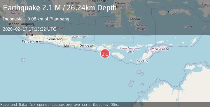
Earthquake Sumbawa Region, Indonesia
Tue, 17 Feb 2026 17:15:22 GMT
Time20 hours ago
Location
-9.5100, 117.9721
Depth
26.2 KM
Event Summary
A 2.1 magnitude earthquake struck on Sumbawa Region, Indonesia, at Tue, 17 Feb 2026 17:15:22 GMT. Depth: 26.243124km. Reviewed by BMKG seismologists, this minor quake occurred at a magnitude type of M.
Magnitude
2.1
M
Source
BMKG
Intensity
-
Agency Reports
1 Sources| Source | Magnitude | Depth | Time |
|---|---|---|---|
| BMKGPrimary | 2.1 | 26 km | 20 hours ago |
Earthquake Details
ManualEvent IDbmg2026djeu
Tsunami PotentialNo
Magnitude TypeM
Nearest Places
- Tanjung Mata63.4 km
- Kokar Aipanam64.7 km
- Teluk Jongrusak64.7 km
- Brang Aimumit64.9 km
- Teluk Baru65.0 km
Comments
Join the discussion about this event.
Latest Earthquakes
3.0Mag
Kenai Peninsula, Alaska
Time20 hours ago
Depth57.62 km
SourceVYT (Automatic)
2.1Mag
Sumbawa region, Indonesia
Time20 hours ago
Depth2.32 km
SourceVYT (Automatic)
2.5Mag
Antofagasta, Chile
Time20 hours ago
Depth0.00 km
SourceVYT (Automatic)
2.5Mag
south of Alaska
Time20 hours ago
Depth10.00 km
SourceVYT (Automatic)
2.4Mag
South of Bali, Indonesia
Time20 hours ago
Depth27.32 km
SourceBMKG
Nearby Earthquakes
2.9Mag
SUMBAWA REGION, INDONESIA
Time1 month ago
Depth24.00 km
SourceBMKG (Automatic)
2.8Mag
SUMBAWA REGION, INDONESIA
Time1 month ago
Depth23.00 km
SourceBMKG (Automatic)
3.7Mag
SUMBAWA REGION, INDONESIA
Time1 month ago
Depth26.00 km
SourceBMKG (Automatic)
3.1Mag
SUMBAWA REGION, INDONESIA
Time1 month ago
Depth25.00 km
SourceBMKG (Automatic)
3.1Mag
Sumbawa Region, Indonesia
Time2 weeks ago
Depth20.98 km
SourceBMKG (Automatic)