Earthquake TIMOR REGION, INDONESIA
Sat, 10 Jan 2026 14:09:38 GMT
Time1 month ago
Location
-10.0500, 123.1100
Depth
17.0 KM
Event Summary
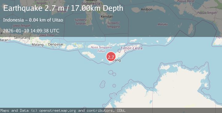
A 2.7 magnitude earthquake struck on TIMOR REGION, INDONESIA, at Sat, 10 Jan 2026 14:09:38 GMT. Depth: 17km. Reviewed by BMKG seismologists, this minor quake occurred at a magnitude type of m.
Magnitude
2.7
m
Source
BMKG
Intensity
-
Agency Reports
1 Sources| Source | Magnitude | Depth | Time |
|---|---|---|---|
| BMKGPrimary | 2.7 | 17 km | 1 month ago |
Earthquake Details
AutomaticEvent IDemsc_BMKG_20260110_0000177
Tsunami PotentialNo
Magnitude Typem
Nearest Places
- Tanjung Uinian31.3 km
- Tanjung Tahasa31.8 km
- Uiamlasi32.1 km
- Tanjung Lokon32.3 km
- Teluk Onanbalu32.5 km
Comments
Join the discussion about this event.
Latest Earthquakes
2.3Mag
Antofagasta, Chile
Time3 minutes ago
Depth82.15 km
SourceVYT (Automatic)
2.1Mag
Southern Alaska
Time5 minutes ago
Depth64.21 km
SourceVYT (Automatic)
2.5Mag
Central Alaska
Time11 minutes ago
Depth312.99 km
SourceVYT (Automatic)
3.6Mag
Banda Sea
Time17 minutes ago
Depth0.00 km
SourceVYT (Automatic)
1.9Mag
western Texas
Time22 minutes ago
Depth0.24 km
SourceVYT (Automatic)
Nearby Earthquakes
3.4Mag
TIMOR REGION, INDONESIA
Time1 week ago
Depth254.00 km
SourceBMKG (Automatic)
3.0Mag
TIMOR REGION, INDONESIA
Time6 years ago
Depth10.00 km
SourceDJA (Automatic)
5.0Mag
SAVU SEA
Time7 years ago
Depth40.00 km
SourceEMSC (Automatic)
4.0Mag
TIMOR REGION, INDONESIA
Time1 year ago
Depth68.00 km
SourceBMKG (Automatic)
4.0Mag
TIMOR REGION, INDONESIA
Time2 years ago
Depth10.00 km
SourceBMKG (Automatic)