Earthquake TIMOR REGION, INDONESIA
Sun, 08 Feb 2026 16:42:52 GMT
Time2 hours ago
Location
-10.0100, 123.0900
Depth
254.0 KM
Event Summary
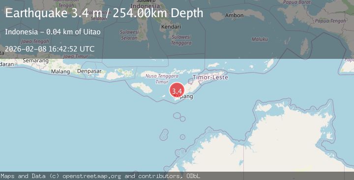
A 3.4 magnitude earthquake struck on TIMOR REGION, INDONESIA, at Sun, 08 Feb 2026 16:42:52 GMT. Depth: 254km. Reviewed by BMKG seismologists, this minor quake occurred at a magnitude type of m.
Magnitude
3.4
m
Source
BMKG
Intensity
-
Agency Reports
1 Sources| Source | Magnitude | Depth | Time |
|---|---|---|---|
| BMKGPrimary | 3.4 | 254 km | 2 hours ago |
Earthquake Details
AutomaticEvent IDemsc_BMKG_20260208_0000286
Tsunami PotentialNo
Magnitude Typem
Nearest Places
- Tanjung Tahasa35.9 km
- Tanjung Uinian36.0 km
- Tanjung Bolan36.3 km
- Mumubolan36.5 km
- Onanbalu36.5 km
Comments
Join the discussion about this event.
Latest Earthquakes
1.8Mag
53 km WNW of Nikiski, Alaska
Time1 hour ago
Depth97.20 km
SourceUSGS (Automatic)
3.1Mag
ICELAND REGION
Time2 hours ago
Depth6.70 km
SourceIMO (Automatic)
2.7Mag
OFFSHORE ANTOFAGASTA, CHILE
Time2 hours ago
Depth38.40 km
SourceCSN (Automatic)
1.5Mag
35 km W of Karluk, Alaska
Time2 hours ago
Depth5.00 km
SourceUSGS (Automatic)
2.7Mag
Southern Sumatra, Indonesia
Time2 hours ago
Depth47.77 km
SourceBMKG (Automatic)
Nearby Earthquakes
3.0Mag
Timor Region
Time6 days ago
Depth12.90 km
SourceBMKG (Automatic)
2.8Mag
Timor Region
Time2 weeks ago
Depth6.89 km
SourceBMKG (Automatic)
2.6Mag
Timor Region
Time1 week ago
Depth35.26 km
SourceBMKG (Automatic)
2.6Mag
Timor Region
Time1 day ago
Depth16.69 km
SourceBMKG (Automatic)
2.8Mag
TIMOR REGION, INDONESIA
Time2 weeks ago
Depth26.00 km
SourceBMKG (Automatic)