Earthquake SOUTHERN SUMATRA, INDONESIA
Sun, 11 Jan 2026 14:57:12 GMT
Time1 month ago
Location
-5.0300, 103.0200
Depth
31.0 KM
Event Summary
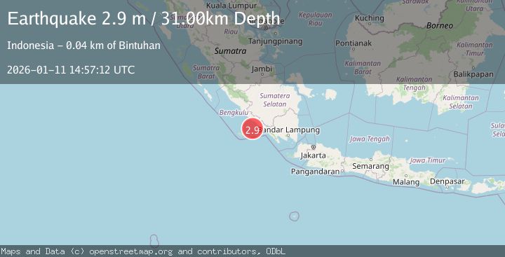
A 2.9 magnitude earthquake struck on SOUTHERN SUMATRA, INDONESIA, at Sun, 11 Jan 2026 14:57:12 GMT. Depth: 31km. Reviewed by BMKG seismologists, this minor quake occurred at a magnitude type of m.
Magnitude
2.9
m
Source
BMKG
Intensity
-
Agency Reports
1 Sources| Source | Magnitude | Depth | Time |
|---|---|---|---|
| BMKGPrimary | 2.9 | 31 km | 1 month ago |
Earthquake Details
AutomaticEvent IDemsc_BMKG_20260111_0000224
Tsunami PotentialNo
Magnitude Typem
Nearest Places
- Tanjung Selasih42.5 km
- Desa Pengubaian42.7 km
- Desa Pahlawan Ratu43.1 km
- Tanjung Bintuhan43.6 km
- Kelurahan Bandar Bintuhan43.6 km
Comments
Join the discussion about this event.
Latest Earthquakes
3.0Mag
Poland
Time49 seconds ago
Depth0.24 km
SourceVYT (Automatic)
4.5Mag
North of Halmahera, Indonesia
Time11 minutes ago
Depth10.00 km
SourceBMKG
4.1Mag
WESTERN XIZANG
Time12 minutes ago
Depth188.80 km
SourceNDI (Automatic)
3.1Mag
Bali Region, Indonesia
Time17 minutes ago
Depth19.14 km
SourceBMKG
2.7Mag
Coquimbo, Chile
Time18 minutes ago
Depth14.16 km
SourceVYT (Automatic)
Nearby Earthquakes
5.6Mag
SOUTHERN SUMATRA, INDONESIA
Time13 years ago
Depth60.00 km
SourceEMSC (Automatic)
5.8Mag
SOUTHERN SUMATRA, INDONESIA
Time16 years ago
Depth60.00 km
SourceEMSC (Automatic)
4.0Mag
SOUTHERN SUMATRA, INDONESIA
Time2 years ago
Depth23.00 km
SourceBMKG (Automatic)
5.1Mag
SOUTHERN SUMATRA, INDONESIA
Time1 year ago
Depth58.00 km
SourceEMSC (Automatic)
4.0Mag
SOUTHERN SUMATRA, INDONESIA
Time1 year ago
Depth27.00 km
SourceBMKG (Automatic)