Earthquake Bali Region, Indonesia
Thu, 19 Feb 2026 04:35:29 GMT
Time2 hours ago
Location
-8.2947, 115.7734
Depth
19.1 KM
Event Summary
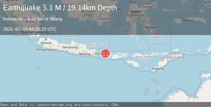
A 3.1 magnitude earthquake struck on Bali Region, Indonesia, at Thu, 19 Feb 2026 04:35:29 GMT. Depth: 19.139292km. Reviewed by BMKG seismologists, this minor quake occurred at a magnitude type of M.
Magnitude
3.1
M
Source
BMKG
Intensity
-
Agency Reports
1 Sources| Source | Magnitude | Depth | Time |
|---|---|---|---|
| BMKGPrimary | 3.1 | 19 km | 2 hours ago |
Earthquake Details
ManualEvent IDbmg2026dlwt
Tsunami PotentialNo
Magnitude TypeM
Nearest Places
- Tanjung Ibus10.2 km
- Leyan11.2 km
- Tukad Dasa11.3 km
- Blue Moon Villas11.3 km
- Tukad Pangkuh11.4 km
Comments
Join the discussion about this event.
Latest Earthquakes
2.7Mag
Coquimbo, Chile
Time2 hours ago
Depth14.16 km
SourceVYT (Automatic)
1.7Mag
Southeastern Alaska
Time2 hours ago
Depth5.98 km
SourceVYT (Automatic)
2.1Mag
Tarapaca, Chile
Time2 hours ago
Depth110.35 km
SourceVYT (Automatic)
2.7Mag
Minahassa Peninsula, Sulawesi
Time2 hours ago
Depth114.15 km
SourceBMKG
2.1Mag
Southern Alaska
Time2 hours ago
Depth19.90 km
SourceVYT (Automatic)
Nearby Earthquakes
4.0Mag
BALI REGION, INDONESIA
Time5 years ago
Depth10.00 km
SourceNEIC (Automatic)
2.5Mag
BALI REGION, INDONESIA
Time1 month ago
Depth12.00 km
SourceBMKG (Automatic)
2.2Mag
Bali Region, Indonesia
Time2 weeks ago
Depth20.84 km
SourceBMKG (Automatic)
3.0Mag
BALI REGION, INDONESIA
Time3 years ago
Depth12.00 km
SourceDJA (Automatic)
2.7Mag
BALI REGION, INDONESIA
Time1 month ago
Depth29.00 km
SourceBMKG (Automatic)