Earthquake SUNDA STRAIT, INDONESIA
Sun, 11 Jan 2026 22:50:53 GMT
Time1 month ago
Location
-6.9500, 105.8900
Depth
77.0 KM
Event Summary
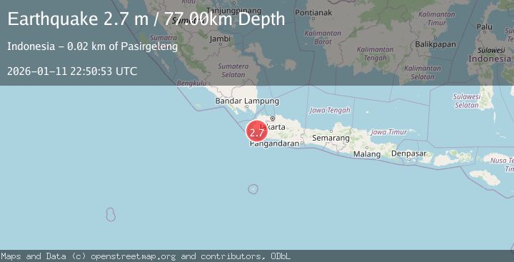
A 2.7 magnitude earthquake struck on SUNDA STRAIT, INDONESIA, at Sun, 11 Jan 2026 22:50:53 GMT. Depth: 77km. Reviewed by BMKG seismologists, this minor quake occurred at a magnitude type of m.
Magnitude
2.7
m
Source
BMKG
Intensity
-
Agency Reports
1 Sources| Source | Magnitude | Depth | Time |
|---|---|---|---|
| BMKGPrimary | 2.7 | 77 km | 1 month ago |
Earthquake Details
AutomaticEvent IDemsc_BMKG_20260111_0000339
Tsunami PotentialNo
Magnitude Typem
Nearest Places
- Pulau Tinjil10.9 km
- Tanjung Karangmalang11.8 km
- Tanjung Panto12.0 km
- Muara Binuangeun12.3 km
- Ci Binuangeun12.3 km
Comments
Join the discussion about this event.
Latest Earthquakes
2.2Mag
Tarapaca, Chile
Time49 minutes ago
Depth0.12 km
SourceVYT (Automatic)
3.7Mag
Adriatic Sea
Time50 minutes ago
Depth10.00 km
SourceVYT (Automatic)
1.2Mag
4 km W of Lake Henshaw, CA
Time50 minutes ago
Depth12.20 km
SourceUSGS (Automatic)
2.6Mag
Near North Coast of West Papua
Time52 minutes ago
Depth10.00 km
SourceBMKG
3.4Mag
Jujuy, Argentina
Time57 minutes ago
Depth299.32 km
SourceVYT (Automatic)
Nearby Earthquakes
5.0Mag
SUNDA STRAIT, INDONESIA
Time16 years ago
Depth121.00 km
SourceEMSC (Automatic)
3.0Mag
SUNDA STRAIT, INDONESIA
Time3 months ago
Depth38.00 km
SourceBMKG (Automatic)
2.5Mag
SUNDA STRAIT, INDONESIA
Time0 months ago
Depth28.00 km
SourceBMKG (Automatic)
3.0Mag
SUNDA STRAIT, INDONESIA
Time3 years ago
Depth10.00 km
SourceDJA (Automatic)
3.0Mag
JAVA, INDONESIA
Time5 years ago
Depth16.00 km
SourceDJA (Automatic)