Earthquake Near North Coast of West Papua
Wed, 18 Feb 2026 20:46:15 GMT
Time1 hour ago
Location
-2.0636, 139.6871
Depth
10.0 KM
Event Summary
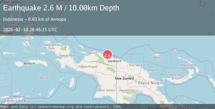
A 2.6 magnitude earthquake struck on Near North Coast of West Papua, at Wed, 18 Feb 2026 20:46:15 GMT. Depth: 10km. Reviewed by BMKG seismologists, this minor quake occurred at a magnitude type of M.
Magnitude
2.6
M
Source
BMKG
Intensity
-
Agency Reports
1 Sources| Source | Magnitude | Depth | Time |
|---|---|---|---|
| BMKGPrimary | 2.6 | 10 km | 1 hour ago |
Earthquake Details
ManualEvent IDbmg2026dlhg
Tsunami PotentialNo
Magnitude TypeM
Nearest Places
- Pulau Kaitjebo20.6 km
- Pulau Anus21.0 km
- Pulau Mengge21.3 km
- Kepulauan Podena22.0 km
- Pulau Kaicebo23.2 km
Comments
Join the discussion about this event.
Latest Earthquakes
3.4Mag
Jujuy, Argentina
Time1 hour ago
Depth299.32 km
SourceVYT (Automatic)
1.7Mag
Southeastern Alaska
Time1 hour ago
Depth0.00 km
SourceVYT (Automatic)
1.5Mag
52 km NW of Toyah, Texas
Time1 hour ago
Depth3.41 km
SourceUSGS (Automatic)
3.4Mag
Antofagasta, Chile
Time1 hour ago
Depth140.87 km
SourceVYT (Automatic)
2.1Mag
Northern Sumatra, Indonesia
Time1 hour ago
Depth116.35 km
SourceBMKG
Nearby Earthquakes
3.3Mag
Near North Coast of West Papua
Time2 hours ago
Depth10.00 km
SourceBMKG
2.5Mag
NEAR N COAST OF PAPUA, INDONESIA
Time2 weeks ago
Depth25.00 km
SourceBMKG (Automatic)
3.1Mag
NEAR N COAST OF PAPUA, INDONESIA
Time1 month ago
Depth47.00 km
SourceBMKG (Automatic)
2.8Mag
NEAR N COAST OF PAPUA, INDONESIA
Time1 month ago
Depth10.00 km
SourceBMKG (Automatic)
3.0Mag
NEAR N COAST OF PAPUA, INDONESIA
Time1 month ago
Depth13.00 km
SourceBMKG (Automatic)