Earthquake SOUTH OF BALI, INDONESIA
Mon, 12 Jan 2026 04:24:23 GMT
Time1 month ago
Location
-9.0800, 114.3400
Depth
34.0 KM
Event Summary
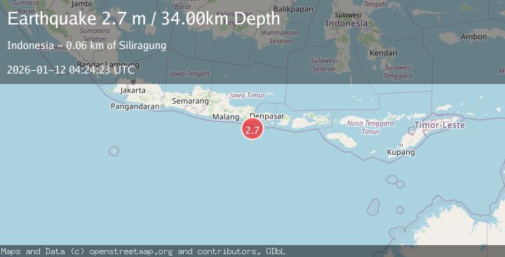
A 2.7 magnitude earthquake struck on SOUTH OF BALI, INDONESIA, at Mon, 12 Jan 2026 04:24:23 GMT. Depth: 34km. Reviewed by BMKG seismologists, this minor quake occurred at a magnitude type of m.
Magnitude
2.7
m
Source
BMKG
Intensity
-
Agency Reports
1 Sources| Source | Magnitude | Depth | Time |
|---|---|---|---|
| BMKGPrimary | 2.7 | 34 km | 1 month ago |
Earthquake Details
AutomaticEvent IDemsc_BMKG_20260112_0000066
Tsunami PotentialNo
Magnitude Typem
Nearest Places
- Pulau Batu Mandi35.0 km
- Kali Bindo37.4 km
- Tanjung Purwo38.0 km
- Tanjung Bantenan39.6 km
- Crowne Plaza Shenzhen Longgang City Centre40.4 km
Comments
Join the discussion about this event.
Latest Earthquakes
3.1Mag
Potosi, Bolivia
Time23 hours ago
Depth211.79 km
SourceVYT (Automatic)
1.6Mag
49 km W of Mentone, Texas
Time23 hours ago
Depth3.28 km
SourceUSGS (Automatic)
1.5Mag
Central Alaska
Time23 hours ago
Depth17.82 km
SourceVYT (Automatic)
2.2Mag
SAN FRANCISCO BAY AREA, CALIF.
Time23 hours ago
Depth6.70 km
SourceNC (Automatic)
1.9Mag
western Texas
Time23 hours ago
Depth0.00 km
SourceVYT (Automatic)
Nearby Earthquakes
3.0Mag
SOUTH OF BALI, INDONESIA
Time2 years ago
Depth65.00 km
SourceBMKG (Automatic)
3.0Mag
SOUTH OF BALI, INDONESIA
Time4 years ago
Depth10.00 km
SourceDJA (Automatic)
3.0Mag
SOUTH OF BALI, INDONESIA
Time4 years ago
Depth58.00 km
SourceDJA (Automatic)
2.5Mag
SOUTH OF BALI, INDONESIA
Time1 month ago
Depth22.00 km
SourceBMKG (Automatic)
2.5Mag
SOUTH OF BALI, INDONESIA
Time1 month ago
Depth17.00 km
SourceBMKG (Automatic)