Earthquake SOUTH OF JAVA, INDONESIA
Mon, 12 Jan 2026 17:35:41 GMT
Time1 month ago
Location
-9.5600, 110.4500
Depth
9.0 KM
Event Summary
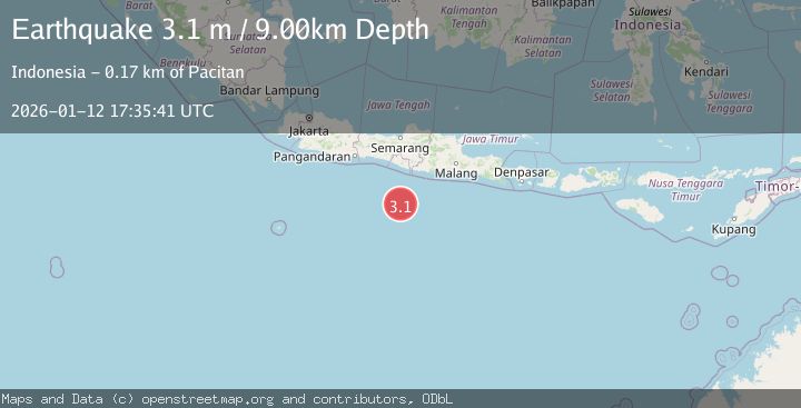
A 3.1 magnitude earthquake struck on SOUTH OF JAVA, INDONESIA, at Mon, 12 Jan 2026 17:35:41 GMT. Depth: 9km. Reviewed by BMKG seismologists, this minor quake occurred at a magnitude type of m.
Magnitude
3.1
m
Source
BMKG
Intensity
-
Agency Reports
1 Sources| Source | Magnitude | Depth | Time |
|---|---|---|---|
| BMKGPrimary | 3.1 | 9 km | 1 month ago |
Earthquake Details
AutomaticEvent IDemsc_BMKG_20260112_0000280
Tsunami PotentialNo
Magnitude Typem
Nearest Places
- Java Trench115.5 km
- Sunda Trough131.9 km
- Jogo Jagad Seamount137.7 km
- Tonggene Manjung153.8 km
- Pulau Glatik154.0 km
Comments
Join the discussion about this event.
Latest Earthquakes
2.4Mag
West Papua Region, Indonesia
Time1 hour ago
Depth10.00 km
SourceBMKG
3.3Mag
Talaud Islands, Indonesia
Time1 hour ago
Depth10.00 km
SourceBMKG
1.1Mag
4 km NW of The Geysers, CA
Time1 hour ago
Depth3.39 km
SourceUSGS (Automatic)
1.0Mag
33 km WSW of Ackerly, Texas
Time1 hour ago
Depth4.44 km
SourceUSGS (Automatic)
2.8Mag
Antofagasta, Chile
Time1 hour ago
Depth0.00 km
SourceVYT (Automatic)
Nearby Earthquakes
3.7Mag
south of Java, Indonesia
Time1 week ago
Depth261.60 km
SourceVYT (Automatic)
2.9Mag
South of Java, Indonesia
Time1 week ago
Depth10.00 km
SourceBMKG (Automatic)
2.6Mag
SOUTH OF JAVA, INDONESIA
Time1 month ago
Depth8.00 km
SourceBMKG (Automatic)
3.2Mag
SOUTH OF JAVA, INDONESIA
Time1 month ago
Depth10.00 km
SourceBMKG (Automatic)
3.4Mag
SOUTH OF JAVA, INDONESIA
Time1 month ago
Depth10.00 km
SourceBMKG (Automatic)