Earthquake SOUTHERN SUMATRA, INDONESIA
Mon, 12 Jan 2026 23:15:11 GMT
Time1 month ago
Location
-2.8400, 101.3100
Depth
42.0 KM
Event Summary
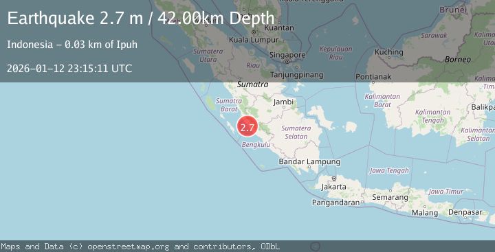
A 2.7 magnitude earthquake struck on SOUTHERN SUMATRA, INDONESIA, at Mon, 12 Jan 2026 23:15:11 GMT. Depth: 42km. Reviewed by BMKG seismologists, this minor quake occurred at a magnitude type of m.
Magnitude
2.7
m
Source
BMKG
Intensity
-
Agency Reports
1 Sources| Source | Magnitude | Depth | Time |
|---|---|---|---|
| BMKGPrimary | 2.7 | 42 km | 1 month ago |
Earthquake Details
AutomaticEvent IDemsc_BMKG_20260112_0000350
Tsunami PotentialNo
Magnitude Typem
Nearest Places
- Pondoklintang6.3 km
- Air Jubakpanang7.5 km
- Desa Teluk Bakung7.8 km
- Desa Teramang Jaya8.4 km
- Air Teramang8.5 km
Comments
Join the discussion about this event.
Latest Earthquakes
2.1Mag
Minahassa Peninsula, Sulawesi
Time7 minutes ago
Depth5.34 km
SourceBMKG
2.1Mag
Tarapaca, Chile
Time7 minutes ago
Depth0.00 km
SourceVYT (Automatic)
0.6Mag
Northern Territory, Australia
Time8 minutes ago
Depth0.00 km
SourceVYT (Automatic)
2.1Mag
near the coast of Tarapaca, Chile
Time9 minutes ago
Depth24.41 km
SourceVYT (Automatic)
2.0Mag
EASTERN TURKEY
Time12 minutes ago
Depth5.40 km
SourceKOERI (Automatic)
Nearby Earthquakes
5.7Mag
SOUTHERN SUMATRA, INDONESIA
Time17 years ago
Depth60.00 km
SourceEMSC (Automatic)
5.0Mag
SOUTHERN SUMATRA, INDONESIA
Time17 years ago
Depth54.00 km
SourceEMSC (Automatic)
5.5Mag
SOUTHERN SUMATRA, INDONESIA
Time18 years ago
Depth72.00 km
SourceEMSC (Automatic)
5.6Mag
SOUTHERN SUMATRA, INDONESIA
Time18 years ago
Depth50.00 km
SourceEMSC (Automatic)
4.0Mag
SOUTHERN SUMATRA, INDONESIA
Time6 years ago
Depth84.00 km
SourceDJA (Automatic)