Earthquake SOUTHERN SUMATRA, INDONESIA
Tue, 12 Feb 2008 01:29:41 GMT
Time18 years ago
Location
-2.7900, 101.3900
Depth
50.0 KM
Event Summary
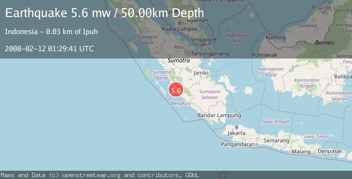
A 5.6 magnitude earthquake struck on SOUTHERN SUMATRA, INDONESIA, at Tue, 12 Feb 2008 01:29:41 GMT. Depth: 50km. Reviewed by EMSC seismologists, this moderate quake occurred at a magnitude type of mw.
Magnitude
5.6
mw
Source
EMSC
Intensity
-
Agency Reports
1 Sources| Source | Magnitude | Depth | Time |
|---|---|---|---|
| EMSCPrimary | 5.6 | 50 km | 18 years ago |
Earthquake Details
AutomaticEvent IDemsc_EMSC_20080212_0000048
Tsunami PotentialNo
Magnitude Typemw
Nearest Places
- Air Teramang2.1 km
- Airberau2.1 km
- Air Berau2.4 km
- Desa Teramang Jaya2.8 km
- Pondoksuguh2.9 km
Comments
Join the discussion about this event.
Latest Earthquakes
2.7Mag
near the coast of Tarapaca, Chile
Time17 hours ago
Depth2.08 km
SourceVYT (Automatic)
0.9Mag
17 km S of Little Lake, CA
Time17 hours ago
Depth1.71 km
SourceUSGS (Automatic)
3.4Mag
OKLAHOMA
Time17 hours ago
Depth0.40 km
SourceOK (Automatic)
3.2Mag
Oklahoma
Time17 hours ago
Depth138.92 km
SourceVYT (Automatic)
1.6Mag
Southern Alaska
Time17 hours ago
Depth17.82 km
SourceVYT (Automatic)
Nearby Earthquakes
5.5Mag
SOUTHERN SUMATRA, INDONESIA
Time18 years ago
Depth72.00 km
SourceEMSC (Automatic)
5.0Mag
SOUTHERN SUMATRA, INDONESIA
Time18 years ago
Depth100.00 km
SourceEMSC (Automatic)
2.7Mag
SOUTHERN SUMATRA, INDONESIA
Time1 month ago
Depth42.00 km
SourceBMKG (Automatic)
5.7Mag
SOUTHERN SUMATRA, INDONESIA
Time17 years ago
Depth60.00 km
SourceEMSC (Automatic)
5.0Mag
SOUTHERN SUMATRA, INDONESIA
Time9 years ago
Depth100.00 km
SourceEMSC (Automatic)