Earthquake SOUTHERN SUMATRA, INDONESIA
Tue, 13 Jan 2026 14:07:31 GMT
Time1 month ago
Location
-3.4600, 101.4100
Depth
22.0 KM
Event Summary
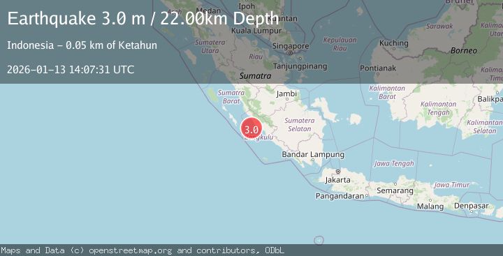
A 3.0 magnitude earthquake struck on SOUTHERN SUMATRA, INDONESIA, at Tue, 13 Jan 2026 14:07:31 GMT. Depth: 22km. Reviewed by BMKG seismologists, this minor quake occurred at a magnitude type of m.
Magnitude
3.0
m
Source
BMKG
Intensity
-
Agency Reports
1 Sources| Source | Magnitude | Depth | Time |
|---|---|---|---|
| BMKGPrimary | 3.0 | 22 km | 1 month ago |
Earthquake Details
AutomaticEvent IDemsc_BMKG_20260113_0000205
Tsunami PotentialNo
Magnitude Typem
Nearest Places
- Sungai Seblat33.8 km
- Sungai Kalikut35.1 km
- Desa Kota Bani35.2 km
- Seblat35.7 km
- Desa Talang Arah36.2 km
Comments
Join the discussion about this event.
Latest Earthquakes
2.0Mag
northwestern Russia
Time7 minutes ago
Depth0.00 km
SourceVYT (Automatic)
4.7Mag
Molucca Sea
Time9 minutes ago
Depth0.00 km
SourceVYT (Automatic)
1.3Mag
Central Alaska
Time14 minutes ago
Depth10.00 km
SourceVYT (Automatic)
2.2Mag
FRANCE
Time16 minutes ago
Depth5.00 km
SourceReNaSS (Automatic)
2.3Mag
Minahassa Peninsula, Sulawesi
Time16 minutes ago
Depth10.00 km
SourceBMKG
Nearby Earthquakes
3.1Mag
SOUTHERN SUMATRA, INDONESIA
Time1 month ago
Depth10.00 km
SourceBMKG (Automatic)
5.0Mag
SOUTHERN SUMATRA, INDONESIA
Time18 years ago
Depth40.00 km
SourceEMSC (Automatic)
5.2Mag
SOUTHERN SUMATRA, INDONESIA
Time12 years ago
Depth56.00 km
SourceEMSC (Automatic)
5.1Mag
SOUTHERN SUMATRA, INDONESIA
Time1 year ago
Depth51.00 km
SourceEMSC (Automatic)
5.4Mag
SOUTHERN SUMATRA, INDONESIA
Time7 years ago
Depth46.00 km
SourceEMSC (Automatic)