Earthquake SOUTHERN SUMATRA, INDONESIA
Wed, 24 Jul 2013 21:39:23 GMT
Time12 years ago
Location
-3.5000, 101.5400
Depth
56.0 KM
Event Summary
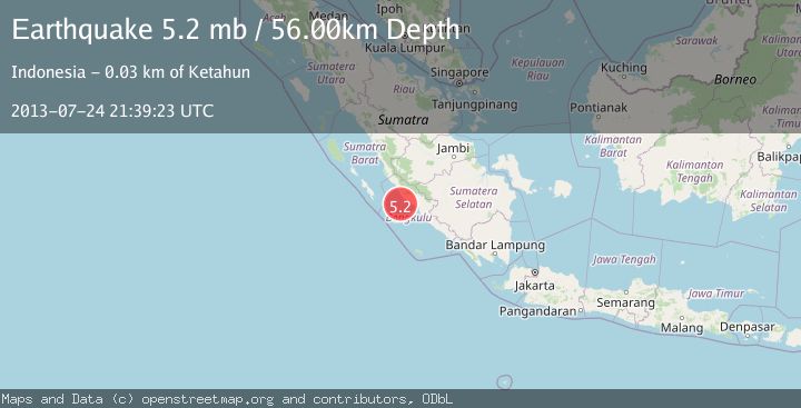
A 5.2 magnitude earthquake struck on SOUTHERN SUMATRA, INDONESIA, at Wed, 24 Jul 2013 21:39:23 GMT. Depth: 56km. Reviewed by EMSC seismologists, this moderate quake occurred at a magnitude type of mb.
Magnitude
5.2
mb
Source
EMSC
Intensity
-
Agency Reports
1 Sources| Source | Magnitude | Depth | Time |
|---|---|---|---|
| EMSCPrimary | 5.2 | 56 km | 12 years ago |
Earthquake Details
AutomaticEvent IDemsc_EMSC_20130724_0000074
Tsunami PotentialNo
Magnitude Typemb
Nearest Places
- Karangpulau29.2 km
- Desa Kota Bani29.7 km
- Desa Lubuk Mindai30.8 km
- Sungai Seblat31.0 km
- Desa Karang Pulau31.8 km
Comments
Join the discussion about this event.
Latest Earthquakes
2.0Mag
Java, Indonesia
Time18 hours ago
Depth32.96 km
SourceBMKG
2.2Mag
Tarapaca, Chile
Time18 hours ago
Depth120.73 km
SourceVYT (Automatic)
0.9Mag
5 km WNW of The Geysers, CA
Time18 hours ago
Depth3.02 km
SourceUSGS (Automatic)
1.5Mag
STRAIT OF GIBRALTAR
Time18 hours ago
Depth7.60 km
SourceIGN (Automatic)
3.3Mag
Andreanof Islands, Aleutian Islands, Alaska
Time18 hours ago
Depth19.90 km
SourceVYT (Automatic)
Nearby Earthquakes
5.1Mag
SOUTHERN SUMATRA, INDONESIA
Time1 year ago
Depth51.00 km
SourceEMSC (Automatic)
3.0Mag
SOUTHERN SUMATRA, INDONESIA
Time5 days ago
Depth10.00 km
SourceBMKG (Automatic)
5.0Mag
SOUTHERN SUMATRA, INDONESIA
Time17 years ago
Depth65.00 km
SourceEMSC (Automatic)
4.0Mag
SOUTHERN SUMATRA, INDONESIA
Time6 years ago
Depth15.00 km
SourceDJA (Automatic)
2.8Mag
SOUTHERN SUMATRA, INDONESIA
Time1 month ago
Depth34.00 km
SourceBMKG (Automatic)