Earthquake SOUTHERN SUMATRA, INDONESIA
Wed, 14 Jan 2026 01:48:14 GMT
Time1 month ago
Location
-4.2500, 103.1300
Depth
26.0 KM
Event Summary
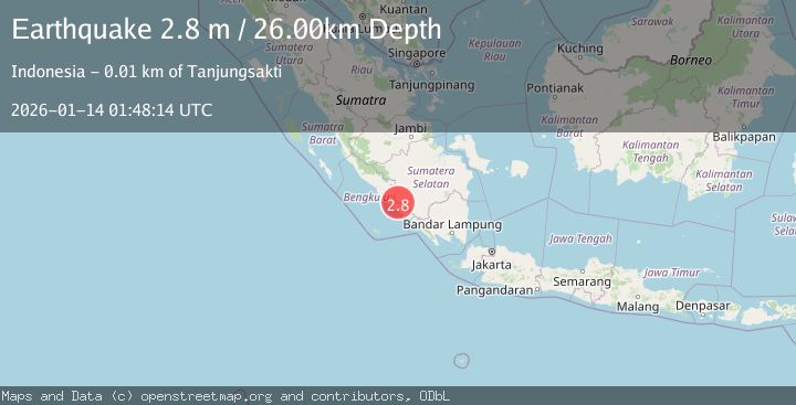
A 2.8 magnitude earthquake struck on SOUTHERN SUMATRA, INDONESIA, at Wed, 14 Jan 2026 01:48:14 GMT. Depth: 26km. Reviewed by BMKG seismologists, this minor quake occurred at a magnitude type of m.
Magnitude
2.8
m
Source
BMKG
Intensity
-
Agency Reports
1 Sources| Source | Magnitude | Depth | Time |
|---|---|---|---|
| BMKGPrimary | 2.8 | 26 km | 1 month ago |
Earthquake Details
AutomaticEvent IDemsc_BMKG_20260114_0000023
Tsunami PotentialNo
Magnitude Typem
Nearest Places
- 4.8 km
- 5.4 km
- 5.5 km
- 6.0 km
- 6.5 km
Comments
Join the discussion about this event.
Latest Earthquakes
2.8Mag
southern Sumatra, Indonesia
Time2 minutes ago
Depth32.71 km
SourceVYT (Automatic)
3.1Mag
Halmahera, Indonesia
Time3 minutes ago
Depth9.55 km
SourceBMKG
2.1Mag
Flores Sea
Time7 minutes ago
Depth31.91 km
SourceBMKG
1.8Mag
3 km WSW of Boulder City, Nevada
Time18 minutes ago
Depth10.39 km
SourceUSGS (Automatic)
1.9Mag
WESTERN TURKEY
Time20 minutes ago
Depth7.80 km
SourceAFAD (Automatic)
Nearby Earthquakes
3.0Mag
SOUTHERN SUMATRA, INDONESIA
Time4 years ago
Depth32.00 km
SourceDJA (Automatic)
5.6Mag
SOUTHERN SUMATRA, INDONESIA
Time18 years ago
Depth80.00 km
SourceEMSC (Automatic)
3.0Mag
SOUTHERN SUMATRA, INDONESIA
Time2 years ago
Depth10.00 km
SourceBMKG (Automatic)
5.3Mag
SOUTHERN SUMATRA, INDONESIA
Time14 years ago
Depth105.00 km
SourceEMSC (Automatic)
5.1Mag
SOUTHERN SUMATRA, INDONESIA
Time5 years ago
Depth103.00 km
SourceEMSC (Automatic)