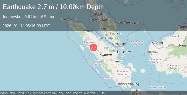
Earthquake NORTHERN SUMATRA, INDONESIA
Wed, 14 Jan 2026 05:16:09 GMT
Time1 month ago
Location
1.0700, 99.5600
Depth
10.0 KM
Event Summary
A 2.7 magnitude earthquake struck on NORTHERN SUMATRA, INDONESIA, at Wed, 14 Jan 2026 05:16:09 GMT. Depth: 10km. Reviewed by BMKG seismologists, this minor quake occurred at a magnitude type of m.
Magnitude
2.7
m
Source
BMKG
Intensity
-
Agency Reports
1 Sources| Source | Magnitude | Depth | Time |
|---|---|---|---|
| BMKGPrimary | 2.7 | 10 km | 1 month ago |
Earthquake Details
AutomaticEvent IDemsc_BMKG_20260114_0000059
Tsunami PotentialNo
Magnitude Typem
Nearest Places
- Adian Sipalis1.6 km
- Desa Lumban Pinasa3.4 km
- Aek Batu Lombutan4.3 km
- Aek Liang Kurat4.3 km
- Aek Liang Bulu Sarik4.4 km
Comments
Join the discussion about this event.
Latest Earthquakes
4.5Mag
North of Halmahera, Indonesia
Time22 hours ago
Depth10.00 km
SourceBMKG
3.1Mag
Bali Region, Indonesia
Time22 hours ago
Depth19.14 km
SourceBMKG
2.7Mag
Coquimbo, Chile
Time23 hours ago
Depth14.16 km
SourceVYT (Automatic)
1.7Mag
Southeastern Alaska
Time23 hours ago
Depth5.98 km
SourceVYT (Automatic)
2.1Mag
Tarapaca, Chile
Time23 hours ago
Depth110.35 km
SourceVYT (Automatic)
Nearby Earthquakes
3.0Mag
NORTHERN SUMATRA, INDONESIA
Time4 years ago
Depth10.00 km
SourceDJA (Automatic)
5.4Mag
NORTHERN SUMATRA, INDONESIA
Time15 years ago
Depth30.00 km
SourceEMSC (Automatic)
3.0Mag
NORTHERN SUMATRA, INDONESIA
Time3 years ago
Depth10.00 km
SourceDJA (Automatic)
3.0Mag
NORTHERN SUMATRA, INDONESIA
Time3 years ago
Depth10.00 km
SourceDJA (Automatic)
3.0Mag
northern Sumatra, Indonesia
Time1 week ago
Depth0.00 km
SourceVYT (Automatic)