Earthquake SOUTHERN SUMATRA, INDONESIA
Wed, 14 Jan 2026 10:25:17 GMT
Time1 month ago
Location
-5.8400, 104.5700
Depth
15.0 KM
Event Summary
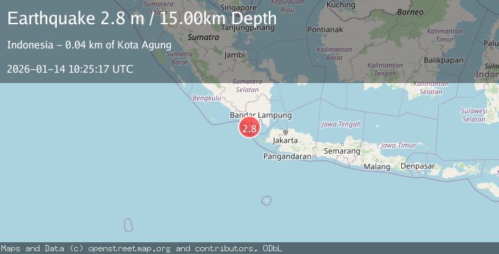
A 2.8 magnitude earthquake struck on SOUTHERN SUMATRA, INDONESIA, at Wed, 14 Jan 2026 10:25:17 GMT. Depth: 15km. Reviewed by BMKG seismologists, this minor quake occurred at a magnitude type of m.
Magnitude
2.8
m
Source
BMKG
Intensity
-
Agency Reports
1 Sources| Source | Magnitude | Depth | Time |
|---|---|---|---|
| BMKGPrimary | 2.8 | 15 km | 1 month ago |
Earthquake Details
AutomaticEvent IDemsc_BMKG_20260114_0000119
Tsunami PotentialNo
Magnitude Typem
Nearest Places
- Wai Batu1.8 km
- Wai Semang2.4 km
- Ujung Waisamang2.5 km
- Pematang Langgar2.6 km
- Wai Panago3.0 km
Comments
Join the discussion about this event.
Latest Earthquakes
2.5Mag
Java, Indonesia
Time5 minutes ago
Depth76.49 km
SourceBMKG
1.9Mag
Tarapaca, Chile
Time11 minutes ago
Depth7.93 km
SourceVYT (Automatic)
2.4Mag
West Papua Region, Indonesia
Time11 minutes ago
Depth10.00 km
SourceBMKG
2.7Mag
Antofagasta, Chile
Time13 minutes ago
Depth0.00 km
SourceVYT (Automatic)
2.7Mag
Tarapaca, Chile
Time18 minutes ago
Depth10.50 km
SourceVYT (Automatic)
Nearby Earthquakes
4.0Mag
SOUTHERN SUMATRA, INDONESIA
Time6 years ago
Depth52.00 km
SourceDJA (Automatic)
2.6Mag
SOUTHERN SUMATRA, INDONESIA
Time1 month ago
Depth15.00 km
SourceBMKG (Automatic)
2.5Mag
SOUTHERN SUMATRA, INDONESIA
Time1 month ago
Depth17.00 km
SourceBMKG (Automatic)
3.0Mag
SOUTHERN SUMATRA, INDONESIA
Time5 years ago
Depth57.00 km
SourceDJA (Automatic)
2.5Mag
SOUTHERN SUMATRA, INDONESIA
Time1 month ago
Depth32.00 km
SourceBMKG (Automatic)