Earthquake NEAR N COAST OF PAPUA, INDONESIA
Wed, 14 Jan 2026 20:03:30 GMT
Time1 month ago
Location
-2.1700, 140.7800
Depth
10.0 KM
Event Summary
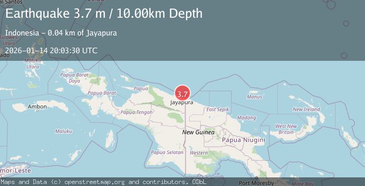
A 3.7 magnitude earthquake struck on NEAR N COAST OF PAPUA, INDONESIA, at Wed, 14 Jan 2026 20:03:30 GMT. Depth: 10km. Reviewed by BMKG seismologists, this minor quake occurred at a magnitude type of m.
Magnitude
3.7
m
Source
BMKG
Intensity
-
Agency Reports
1 Sources| Source | Magnitude | Depth | Time |
|---|---|---|---|
| BMKGPrimary | 3.7 | 15 km | 1 month ago |
Earthquake Details
AutomaticEvent IDemsc_BMKG_20260114_0000280
Tsunami PotentialNo
Magnitude Typem
Nearest Places
- 35.5 km
- 36.9 km
- 38.3 km
- 38.5 km
- 39.3 km
Comments
Join the discussion about this event.
Latest Earthquakes
1.0Mag
Central Alaska
Time1 hour ago
Depth0.00 km
SourceVYT (Automatic)
2.5Mag
Sunda Strait, Indonesia
Time1 hour ago
Depth33.64 km
SourceBMKG
5.2Mag
OFF W. COAST OF S. ISLAND, N.Z.
Time1 hour ago
Depth35.00 km
SourceEMSC (Automatic)
5.0Mag
off the west coast of the South Island of New Zealand
Time1 hour ago
Depth10.00 km
SourceVYT (Automatic)
2.5Mag
Halmahera, Indonesia
Time1 hour ago
Depth10.87 km
SourceBMKG
Nearby Earthquakes
2.8Mag
NEAR N COAST OF PAPUA, INDONESIA
Time1 month ago
Depth10.00 km
SourceBMKG (Automatic)
3.1Mag
Near North Coast of West Papua
Time2 hours ago
Depth10.00 km
SourceBMKG
3.0Mag
NEAR N COAST OF PAPUA, INDONESIA
Time3 years ago
Depth10.00 km
SourceDJA (Automatic)
3.0Mag
NEAR N COAST OF PAPUA, INDONESIA
Time3 years ago
Depth10.00 km
SourceDJA (Automatic)
3.0Mag
NEAR N COAST OF PAPUA, INDONESIA
Time5 years ago
Depth10.00 km
SourceDJA (Automatic)