Earthquake SUMBAWA REGION, INDONESIA
Thu, 15 Jan 2026 13:43:42 GMT
Time1 month ago
Location
-9.0500, 117.8800
Depth
74.0 KM
Event Summary
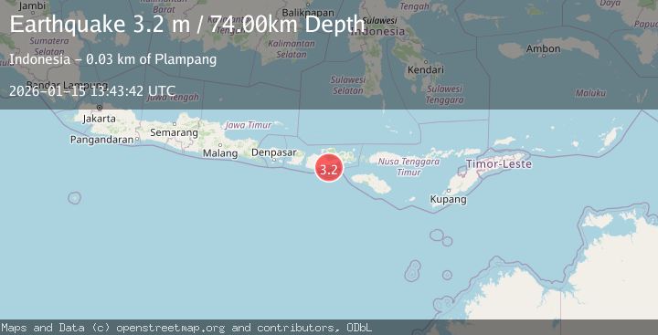
A 3.2 magnitude earthquake struck on SUMBAWA REGION, INDONESIA, at Thu, 15 Jan 2026 13:43:42 GMT. Depth: 74km. Reviewed by BMKG seismologists, this minor quake occurred at a magnitude type of m.
Magnitude
3.2
m
Source
BMKG
Intensity
-
Agency Reports
1 Sources| Source | Magnitude | Depth | Time |
|---|---|---|---|
| BMKGPrimary | 3.2 | 74 km | 1 month ago |
Earthquake Details
AutomaticEvent IDemsc_BMKG_20260115_0000196
Tsunami PotentialNo
Magnitude Typem
Nearest Places
- Tanjung Mata11.7 km
- Kokar Aipanam12.6 km
- Teluk Jongrusak12.7 km
- Brang Aimumit12.8 km
- Teluk Baru13.7 km
Comments
Join the discussion about this event.
Latest Earthquakes
1.4Mag
Southern Alaska
Time12 hours ago
Depth78.86 km
SourceVYT (Automatic)
2.7Mag
Minahassa Peninsula, Sulawesi
Time12 hours ago
Depth135.89 km
SourceBMKG
2.1Mag
Slovakia
Time12 hours ago
Depth0.00 km
SourceVYT (Automatic)
2.4Mag
FRANCE
Time12 hours ago
Depth5.00 km
SourceReNaSS (Automatic)
2.9Mag
Southeastern Alaska
Time12 hours ago
Depth0.00 km
SourceVYT (Automatic)
Nearby Earthquakes
4.0Mag
SUMBAWA REGION, INDONESIA
Time6 years ago
Depth10.00 km
SourceDJA (Automatic)
2.0Mag
Sumbawa region, Indonesia
Time5 days ago
Depth158.69 km
SourceVYT (Automatic)
5.2Mag
SUMBAWA REGION, INDONESIA
Time6 years ago
Depth64.00 km
SourceEMSC (Automatic)
3.8Mag
Sumbawa Region, Indonesia
Time0 months ago
Depth10.83 km
SourceBMKG (Automatic)
2.8Mag
SUMBAWA REGION, INDONESIA
Time1 month ago
Depth126.00 km
SourceBMKG (Automatic)