Earthquake MOLUCCA SEA
Fri, 16 Jan 2026 06:56:47 GMT
Time1 month ago
Location
1.7700, 126.9800
Depth
109.0 KM
Event Summary
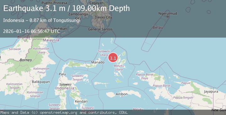
A 3.1 magnitude earthquake struck on MOLUCCA SEA, at Fri, 16 Jan 2026 06:56:47 GMT. Depth: 109km. Reviewed by BMKG seismologists, this minor quake occurred at a magnitude type of m.
Magnitude
3.1
m
Source
BMKG
Intensity
-
Agency Reports
1 Sources| Source | Magnitude | Depth | Time |
|---|---|---|---|
| BMKGPrimary | 3.1 | 109 km | 1 month ago |
Earthquake Details
AutomaticEvent IDemsc_BMKG_20260116_0000097
Tsunami PotentialNo
Magnitude Typem
Nearest Places
- Nyi30.4 km
- Nusa Sidanga57.3 km
- Nusa Nyaolaka57.4 km
- Nusa Sosota58.1 km
- Kepulauan Loloda Selatan58.9 km
Comments
Join the discussion about this event.
Latest Earthquakes
3.4Mag
Flores region, Indonesia
Time16 hours ago
Depth22.83 km
SourceVYT (Automatic)
2.4Mag
Sumbawa Region, Indonesia
Time16 hours ago
Depth10.00 km
SourceBMKG
1.3Mag
3 km SSW of Cobb, CA
Time16 hours ago
Depth0.36 km
SourceUSGS (Automatic)
1.8Mag
Southern California
Time16 hours ago
Depth13.43 km
SourceVYT (Automatic)
1.9Mag
Southern Alaska
Time16 hours ago
Depth0.00 km
SourceVYT (Automatic)
Nearby Earthquakes
2.9Mag
Northern Molucca Sea
Time1 week ago
Depth108.08 km
SourceBMKG
4.0Mag
MOLUCCA SEA
Time6 years ago
Depth59.00 km
SourceNEIC (Automatic)
5.2Mag
MOLUCCA SEA
Time11 years ago
Depth114.00 km
SourceEMSC (Automatic)
5.2Mag
HALMAHERA, INDONESIA
Time3 months ago
Depth71.00 km
SourceEMSC (Automatic)
4.0Mag
HALMAHERA, INDONESIA
Time7 years ago
Depth12.00 km
SourceDJA (Automatic)