Earthquake Northern Molucca Sea
Wed, 11 Feb 2026 21:14:55 GMT
Time6 days ago
Location
1.7559, 126.9911
Depth
108.1 KM
Event Summary
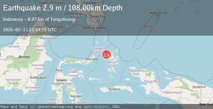
A 2.9 magnitude earthquake struck on Northern Molucca Sea, at Wed, 11 Feb 2026 21:14:55 GMT. Depth: 108.075371km. Reviewed by BMKG seismologists, this minor quake occurred at a magnitude type of M.
Magnitude
2.9
M
Source
BMKG
Intensity
-
Agency Reports
1 Sources| Source | Magnitude | Depth | Time |
|---|---|---|---|
| BMKGPrimary | 2.9 | 108 km | 6 days ago |
Earthquake Details
ManualEvent IDbmg2026cynr
Tsunami PotentialNo
Magnitude TypeM
Nearest Places
- Nyi28.5 km
- Nusa Nyaolaka55.8 km
- Nusa Sidanga55.8 km
- Nusa Sosota56.5 km
- Kepulauan Loloda Selatan57.4 km
Comments
Join the discussion about this event.
Latest Earthquakes
1.7Mag
Southern California
Time16 hours ago
Depth0.00 km
SourceVYT (Automatic)
3.1Mag
northern Norway
Time16 hours ago
Depth707.40 km
SourceVYT (Automatic)
2.4Mag
Albania
Time16 hours ago
Depth14.77 km
SourceVYT (Automatic)
2.7Mag
Southern Sumatra, Indonesia
Time16 hours ago
Depth2.84 km
SourceBMKG
1.5Mag
97 km WNW of Yakutat, Alaska
Time16 hours ago
Depth5.40 km
SourceUSGS (Automatic)
Nearby Earthquakes
3.1Mag
MOLUCCA SEA
Time1 month ago
Depth109.00 km
SourceBMKG (Automatic)
5.2Mag
MOLUCCA SEA
Time11 years ago
Depth114.00 km
SourceEMSC (Automatic)
4.0Mag
MOLUCCA SEA
Time6 years ago
Depth59.00 km
SourceNEIC (Automatic)
5.2Mag
HALMAHERA, INDONESIA
Time3 months ago
Depth71.00 km
SourceEMSC (Automatic)
3.0Mag
HALMAHERA, INDONESIA
Time2 years ago
Depth10.00 km
SourceBMKG (Automatic)