Earthquake HALMAHERA, INDONESIA
Fri, 16 Jan 2026 23:00:13 GMT
Time1 month ago
Location
1.3600, 127.3500
Depth
84.0 KM
Event Summary
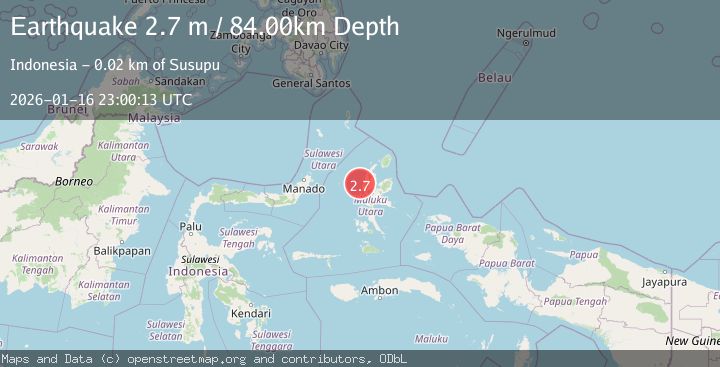
A 2.7 magnitude earthquake struck on HALMAHERA, INDONESIA, at Fri, 16 Jan 2026 23:00:13 GMT. Depth: 84km. Reviewed by BMKG seismologists, this minor quake occurred at a magnitude type of m.
Magnitude
2.7
m
Source
BMKG
Intensity
-
Agency Reports
1 Sources| Source | Magnitude | Depth | Time |
|---|---|---|---|
| BMKGPrimary | 2.7 | 84 km | 1 month ago |
Earthquake Details
AutomaticEvent IDemsc_BMKG_20260116_0000377
Tsunami PotentialNo
Magnitude Typem
Nearest Places
- Tanjung Tabobo12.6 km
- Tabobo12.7 km
- Tanjung Tuasaselo13.1 km
- Gorogoro13.4 km
- Tanjung Pligon13.8 km
Comments
Join the discussion about this event.
Latest Earthquakes
3.0Mag
Southern Alaska
Time2 minutes ago
Depth53.34 km
SourceVYT (Automatic)
1.9Mag
Tarapaca, Chile
Time3 minutes ago
Depth0.00 km
SourceVYT (Automatic)
2.4Mag
Sulawesi, Indonesia
Time12 minutes ago
Depth4.26 km
SourceBMKG
2.2Mag
Northern Sumatra, Indonesia
Time16 minutes ago
Depth8.25 km
SourceBMKG
2.5Mag
CRETE, GREECE
Time23 minutes ago
Depth17.50 km
SourceNOA (Automatic)
Nearby Earthquakes
4.0Mag
HALMAHERA, INDONESIA
Time6 years ago
Depth121.00 km
SourceDJA (Automatic)
3.9Mag
Halmahera, Indonesia
Time2 hours ago
Depth161.01 km
SourceVYT (Automatic)
4.5Mag
HALMAHERA, INDONESIA
Time1 month ago
Depth74.30 km
SourceNEIC (Automatic)
3.0Mag
HALMAHERA, INDONESIA
Time2 years ago
Depth150.00 km
SourceBMKG (Automatic)
4.0Mag
HALMAHERA, INDONESIA
Time2 years ago
Depth10.00 km
SourceBMKG (Automatic)