Earthquake SOUTHERN SUMATRA, INDONESIA
Sat, 17 Jan 2026 01:11:34 GMT
Time1 month ago
Location
-5.4300, 103.4900
Depth
12.0 KM
Event Summary
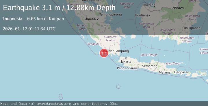
A 3.1 magnitude earthquake struck on SOUTHERN SUMATRA, INDONESIA, at Sat, 17 Jan 2026 01:11:34 GMT. Depth: 12km. Reviewed by BMKG seismologists, this minor quake occurred at a magnitude type of m.
Magnitude
3.1
m
Source
BMKG
Intensity
-
Agency Reports
1 Sources| Source | Magnitude | Depth | Time |
|---|---|---|---|
| BMKGPrimary | 3.1 | 12 km | 1 month ago |
Earthquake Details
AutomaticEvent IDemsc_BMKG_20260117_0000010
Tsunami PotentialNo
Magnitude Typem
Nearest Places
- Ujung Walor51.5 km
- Pedangrindu51.9 km
- Desa Suka Marga52.0 km
- Desa Walur52.0 km
- Desa Labuhan52.1 km
Comments
Join the discussion about this event.
Latest Earthquakes
2.4Mag
Finland
Time4 minutes ago
Depth301.88 km
SourceVYT (Automatic)
1.2Mag
Alaska Peninsula
Time4 minutes ago
Depth0.12 km
SourceVYT (Automatic)
4.1Mag
NEAR COAST OF NORTHERN PERU
Time9 minutes ago
Depth35.00 km
SourceLIM (Automatic)
3.1Mag
DODECANESE IS.-TURKEY BORDER REG
Time10 minutes ago
Depth4.10 km
SourceKOERI (Automatic)
2.6Mag
NEAR COAST OF NICARAGUA
Time15 minutes ago
Depth38.00 km
SourceINET (Automatic)
Nearby Earthquakes
3.0Mag
SOUTHERN SUMATRA, INDONESIA
Time3 years ago
Depth10.00 km
SourceDJA (Automatic)
3.0Mag
SOUTHERN SUMATRA, INDONESIA
Time4 years ago
Depth21.00 km
SourceDJA (Automatic)
5.0Mag
SOUTHERN SUMATRA, INDONESIA
Time16 years ago
Depth81.00 km
SourceEMSC (Automatic)
3.0Mag
SOUTHERN SUMATRA, INDONESIA
Time3 years ago
Depth30.00 km
SourceDJA (Automatic)
4.4Mag
southern Sumatra, Indonesia
Time4 days ago
Depth0.00 km
SourceVYT (Automatic)