Earthquake TIMOR REGION, INDONESIA
Sat, 17 Jan 2026 10:11:33 GMT
Time1 month ago
Location
-9.2100, 123.8200
Depth
64.0 KM
Event Summary
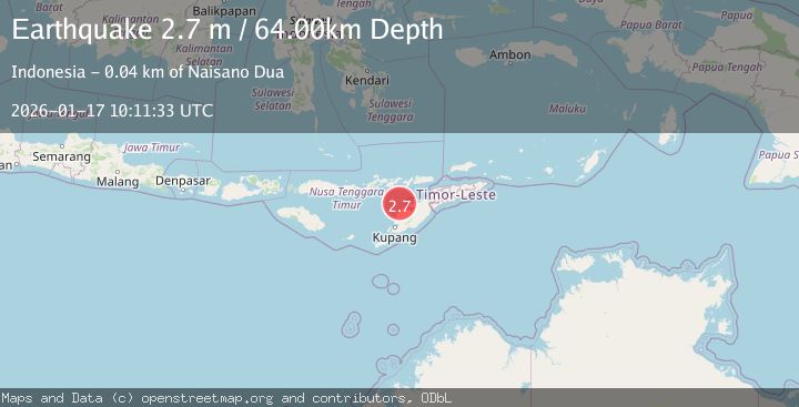
A 2.7 magnitude earthquake struck on TIMOR REGION, INDONESIA, at Sat, 17 Jan 2026 10:11:33 GMT. Depth: 64km. Reviewed by BMKG seismologists, this minor quake occurred at a magnitude type of m.
Magnitude
2.7
m
Source
BMKG
Intensity
-
Agency Reports
1 Sources| Source | Magnitude | Depth | Time |
|---|---|---|---|
| BMKGPrimary | 2.7 | 64 km | 1 month ago |
Earthquake Details
AutomaticEvent IDemsc_BMKG_20260117_0000109
Tsunami PotentialNo
Magnitude Typem
Nearest Places
- Pulau Batek19.0 km
- Tanjung Nasikonis23.7 km
- Tobu23.9 km
- Tanjung Tastasik23.9 km
- Nainunus24.1 km
Comments
Join the discussion about this event.
Latest Earthquakes
2.2Mag
OKLAHOMA
Time6 minutes ago
Depth3.40 km
SourceOK (Automatic)
1.6Mag
Southern Alaska
Time19 minutes ago
Depth48.58 km
SourceVYT (Automatic)
2.2Mag
PUERTO RICO
Time20 minutes ago
Depth13.80 km
SourcePR (Automatic)
2.3Mag
Antofagasta, Chile
Time21 minutes ago
Depth82.15 km
SourceVYT (Automatic)
2.1Mag
Southern Alaska
Time23 minutes ago
Depth64.21 km
SourceVYT (Automatic)
Nearby Earthquakes
3.0Mag
TIMOR REGION, INDONESIA
Time1 year ago
Depth45.00 km
SourceBMKG (Automatic)
2.6Mag
Timor Region
Time1 week ago
Depth35.89 km
SourceBMKG (Automatic)
3.1Mag
TIMOR REGION, INDONESIA
Time1 month ago
Depth56.00 km
SourceBMKG (Automatic)
5.0Mag
TIMOR REGION, INDONESIA
Time17 years ago
Depth82.00 km
SourceEMSC (Automatic)
3.0Mag
TIMOR REGION, INDONESIA
Time2 years ago
Depth79.00 km
SourceBMKG (Automatic)