Earthquake Timor Region
Fri, 06 Feb 2026 22:16:17 GMT
Time1 hour ago
Location
-9.1814, 123.8030
Depth
35.9 KM
Event Summary
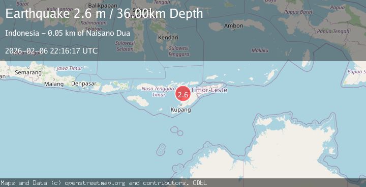
A 2.6 magnitude earthquake struck on Timor Region, at Fri, 06 Feb 2026 22:16:17 GMT. Depth: 35.892513km. Reviewed by BMKG seismologists, this minor quake occurred at a magnitude type of M.
Magnitude
2.6
M
Source
BMKG
Intensity
-
Agency Reports
1 Sources| Source | Magnitude | Depth | Time |
|---|---|---|---|
| BMKGPrimary | 2.6 | 36 km | 1 hour ago |
Earthquake Details
AutomaticEvent IDbmg2026cpme
Tsunami PotentialNo
Magnitude TypeM
Nearest Places
- Pulau Batek21.9 km
- Tanjung Nasikonis27.3 km
- Tobu27.4 km
- Tanjung Tastasik27.5 km
- Tanjung Temekuna27.6 km
Comments
Join the discussion about this event.
Latest Earthquakes
2.6Mag
Sumba Region, Indonesia
Time15 minutes ago
Depth46.11 km
SourceBMKG (Automatic)
1.2Mag
10 km W of Pine Valley, CA
Time15 minutes ago
Depth17.65 km
SourceUSGS (Automatic)
1.6Mag
57 km NW of Toyah, Texas
Time20 minutes ago
Depth4.34 km
SourceUSGS (Automatic)
3.7Mag
Banda Sea
Time27 minutes ago
Depth61.91 km
SourceBMKG (Automatic)
2.1Mag
Southern Sumatra, Indonesia
Time28 minutes ago
Depth3.62 km
SourceBMKG (Automatic)
Nearby Earthquakes
3.5Mag
Timor Region
Time2 weeks ago
Depth49.38 km
SourceBMKG (Automatic)
2.4Mag
Timor Region
Time2 days ago
Depth73.87 km
SourceBMKG (Automatic)
2.6Mag
TIMOR REGION
Time1 day ago
Depth55.00 km
SourceBMKG (Automatic)
2.5Mag
Flores Region, Indonesia
Time2 weeks ago
Depth51.05 km
SourceBMKG (Automatic)
2.9Mag
Timor Region
Time6 days ago
Depth21.53 km
SourceBMKG (Automatic)