Earthquake NORTH OF HALMAHERA, INDONESIA
Sun, 18 Jan 2026 12:42:18 GMT
Time1 month ago
Location
3.0100, 128.0200
Depth
131.0 KM
Event Summary
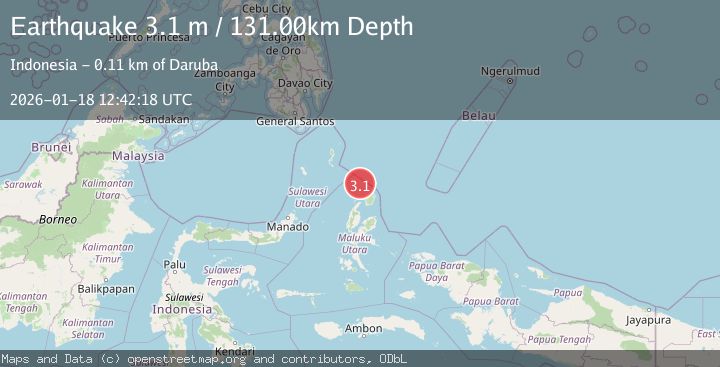
A 3.1 magnitude earthquake struck on NORTH OF HALMAHERA, INDONESIA, at Sun, 18 Jan 2026 12:42:18 GMT. Depth: 131km. Reviewed by BMKG seismologists, this minor quake occurred at a magnitude type of m.
Magnitude
3.1
m
Source
BMKG
Intensity
-
Agency Reports
1 Sources| Source | Magnitude | Depth | Time |
|---|---|---|---|
| BMKGPrimary | 3.1 | 131 km | 1 month ago |
Earthquake Details
AutomaticEvent IDemsc_BMKG_20260118_0000166
Tsunami PotentialNo
Magnitude Typem
Nearest Places
- Morotai Basin2.5 km
- Pulau Karis66.1 km
- Tanjung Berri Berri66.9 km
- Tanjung Baku67.6 km
- Tanjung Padangi67.7 km
Comments
Join the discussion about this event.
Latest Earthquakes
2.7Mag
Antofagasta, Chile
Time12 hours ago
Depth159.18 km
SourceVYT (Automatic)
2.1Mag
WESTERN TURKEY
Time12 hours ago
Depth10.40 km
SourceKOERI (Automatic)
1.9Mag
Central Alaska
Time12 hours ago
Depth115.60 km
SourceVYT (Automatic)
2.2Mag
FRANCE
Time12 hours ago
Depth5.00 km
SourceReNaSS (Automatic)
4.1Mag
NICARAGUA
Time12 hours ago
Depth17.00 km
SourceUNA (Automatic)
Nearby Earthquakes
4.0Mag
HALMAHERA, INDONESIA
Time7 years ago
Depth115.00 km
SourceDJA (Automatic)
5.4Mag
NORTH OF HALMAHERA, INDONESIA
Time5 years ago
Depth100.00 km
SourceEMSC (Automatic)
5.4Mag
KEPULAUAN TALAUD, INDONESIA
Time7 years ago
Depth94.00 km
SourceEMSC (Automatic)
3.0Mag
HALMAHERA, INDONESIA
Time2 years ago
Depth14.00 km
SourceDJA (Automatic)
4.0Mag
NORTH OF HALMAHERA, INDONESIA
Time4 years ago
Depth88.00 km
SourceDJA (Automatic)