Earthquake NORTH OF HALMAHERA, INDONESIA
Wed, 18 Mar 2020 03:13:28 GMT
Time5 years ago
Location
3.0300, 128.0700
Depth
100.0 KM
Event Summary
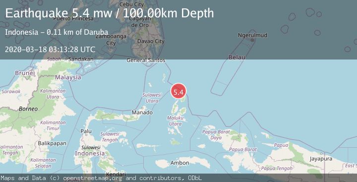
A 5.4 magnitude earthquake struck on NORTH OF HALMAHERA, INDONESIA, at Wed, 18 Mar 2020 03:13:28 GMT. Depth: 100km. Reviewed by EMSC seismologists, this moderate quake occurred at a magnitude type of mw.
Magnitude
5.4
mw
Source
EMSC
Intensity
-
Agency Reports
1 Sources| Source | Magnitude | Depth | Time |
|---|---|---|---|
| EMSCPrimary | 5.4 | 100 km | 5 years ago |
Earthquake Details
AutomaticEvent IDemsc_EMSC_20200318_0000024
Tsunami PotentialNo
Magnitude Typemw
Nearest Places
- Morotai Basin8.5 km
- Tanjung Berri Berri64.9 km
- Tanjung Padangi65.4 km
- Bere Bere66.3 km
- Tanjung Baku66.6 km
Comments
Join the discussion about this event.
Latest Earthquakes
2.5Mag
Tarapaca, Chile
Time1 minute ago
Depth112.55 km
SourceVYT (Automatic)
2.2Mag
Tarapaca, Chile
Time6 minutes ago
Depth111.94 km
SourceVYT (Automatic)
1.9Mag
Central Alaska
Time7 minutes ago
Depth32.10 km
SourceVYT (Automatic)
3.4Mag
HAWAII REGION, HAWAII
Time7 minutes ago
Depth4.70 km
SourceHV (Automatic)
1.9Mag
STRAIT OF GIBRALTAR
Time11 minutes ago
Depth0.00 km
SourceIGN (Automatic)
Nearby Earthquakes
3.1Mag
NORTH OF HALMAHERA, INDONESIA
Time1 month ago
Depth131.00 km
SourceBMKG (Automatic)
4.1Mag
North of Halmahera, Indonesia
Time2 weeks ago
Depth5.50 km
SourceBMKG (Automatic)
4.0Mag
NORTH OF HALMAHERA, INDONESIA
Time4 years ago
Depth88.00 km
SourceDJA (Automatic)
4.0Mag
NORTH OF HALMAHERA, INDONESIA
Time1 year ago
Depth119.00 km
SourceBMKG (Automatic)
2.8Mag
North of Halmahera, Indonesia
Time2 days ago
Depth132.27 km
SourceBMKG