Earthquake SOUTH OF JAVA, INDONESIA
Mon, 19 Jan 2026 08:47:22 GMT
Time1 month ago
Location
-9.2300, 113.4900
Depth
21.0 KM
Event Summary
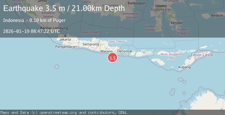
A 3.5 magnitude earthquake struck on SOUTH OF JAVA, INDONESIA, at Mon, 19 Jan 2026 08:47:22 GMT. Depth: 21km. Reviewed by BMKG seismologists, this minor quake occurred at a magnitude type of m.
Magnitude
3.5
m
Source
BMKG
Intensity
-
Agency Reports
1 Sources| Source | Magnitude | Depth | Time |
|---|---|---|---|
| BMKGPrimary | 3.5 | 21 km | 1 month ago |
Earthquake Details
AutomaticEvent IDemsc_BMKG_20260119_0000094
Tsunami PotentialNo
Magnitude Typem
Nearest Places
- Pulau Bandialit81.2 km
- Pulau Singe81.3 km
- Tanjung Bandaialit81.7 km
- Pulau Pemirsan Kecil81.9 km
- Pulau Pager82.1 km
Comments
Join the discussion about this event.
Latest Earthquakes
1.1Mag
31 km WSW of Ackerly, Texas
Time5 minutes ago
Depth3.93 km
SourceUSGS (Automatic)
2.4Mag
West Papua Region, Indonesia
Time12 minutes ago
Depth10.00 km
SourceBMKG
3.3Mag
Talaud Islands, Indonesia
Time13 minutes ago
Depth10.00 km
SourceBMKG
1.1Mag
4 km NW of The Geysers, CA
Time14 minutes ago
Depth3.39 km
SourceUSGS (Automatic)
1.0Mag
33 km WSW of Ackerly, Texas
Time14 minutes ago
Depth4.44 km
SourceUSGS (Automatic)
Nearby Earthquakes
3.6Mag
South of Java, Indonesia
Time3 weeks ago
Depth27.60 km
SourceBMKG (Automatic)
3.0Mag
SOUTH OF JAVA, INDONESIA
Time5 years ago
Depth10.00 km
SourceDJA (Automatic)
2.7Mag
SOUTH OF JAVA, INDONESIA
Time1 month ago
Depth10.00 km
SourceBMKG (Automatic)
4.3Mag
SOUTH OF JAVA, INDONESIA
Time1 month ago
Depth12.00 km
SourceBMKG (Automatic)
2.9Mag
SOUTH OF JAVA, INDONESIA
Time1 month ago
Depth27.00 km
SourceBMKG (Automatic)