Earthquake PAPUA REGION, INDONESIA
Mon, 19 Jan 2026 09:26:59 GMT
Time1 month ago
Location
-1.1100, 129.8700
Depth
13.0 KM
Event Summary
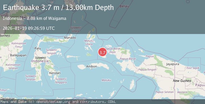
A 3.7 magnitude earthquake struck on PAPUA REGION, INDONESIA, at Mon, 19 Jan 2026 09:26:59 GMT. Depth: 13km. Reviewed by BMKG seismologists, this minor quake occurred at a magnitude type of m.
Magnitude
3.7
m
Source
BMKG
Intensity
-
Agency Reports
1 Sources| Source | Magnitude | Depth | Time |
|---|---|---|---|
| BMKGPrimary | 3.7 | 13 km | 1 month ago |
Earthquake Details
AutomaticEvent IDemsc_BMKG_20260119_0000102
Tsunami PotentialNo
Magnitude Typem
Nearest Places
- Hebera5.0 km
- Pulau Deer5.1 km
- Gunung Mata7.1 km
- Pulau Kofiau8.4 km
- Kampung Deer8.5 km
Comments
Join the discussion about this event.
Latest Earthquakes
2.3Mag
Sulawesi, Indonesia
Time9 hours ago
Depth5.00 km
SourceBMKG
2.2Mag
Northern Sumatra, Indonesia
Time10 hours ago
Depth8.25 km
SourceBMKG
2.5Mag
CRETE, GREECE
Time10 hours ago
Depth17.50 km
SourceNOA (Automatic)
2.5Mag
Tarapaca, Chile
Time10 hours ago
Depth112.55 km
SourceVYT (Automatic)
2.0Mag
ALBANIA
Time10 hours ago
Depth15.00 km
SourceIGEO (Automatic)
Nearby Earthquakes
2.2Mag
Halmahera, Indonesia
Time3 weeks ago
Depth12.67 km
SourceBMKG (Automatic)
2.7Mag
Halmahera, Indonesia
Time1 week ago
Depth10.00 km
SourceBMKG (Automatic)
4.0Mag
PAPUA REGION, INDONESIA
Time1 year ago
Depth10.00 km
SourceBMKG (Automatic)
4.0Mag
PAPUA REGION, INDONESIA
Time3 years ago
Depth79.00 km
SourceDJA (Automatic)
3.2Mag
Halmahera, Indonesia
Time0 months ago
Depth10.00 km
SourceBMKG (Automatic)