Earthquake NEAR N COAST OF PAPUA, INDONESIA
Mon, 19 Jan 2026 16:19:26 GMT
Time0 months ago
Location
-0.6200, 134.0100
Depth
11.0 KM
Event Summary
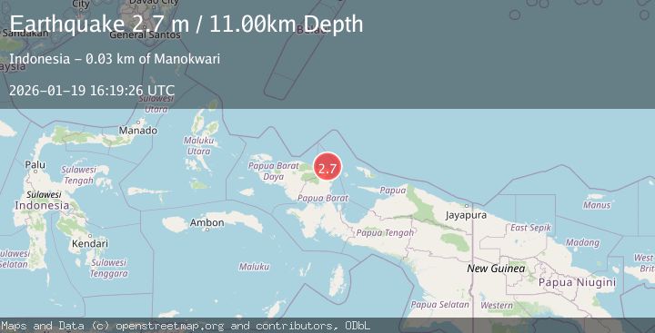
A 2.7 magnitude earthquake struck on NEAR N COAST OF PAPUA, INDONESIA, at Mon, 19 Jan 2026 16:19:26 GMT. Depth: 11km. Reviewed by BMKG seismologists, this minor quake occurred at a magnitude type of m.
Magnitude
2.7
m
Source
BMKG
Intensity
-
Agency Reports
1 Sources| Source | Magnitude | Depth | Time |
|---|---|---|---|
| BMKGPrimary | 2.7 | 11 km | 0 months ago |
Earthquake Details
AutomaticEvent IDemsc_BMKG_20260119_0000211
Tsunami PotentialNo
Magnitude Typem
Nearest Places
- Tanjung Saweba12.5 km
- Kampung Tanah Rubuh13.0 km
- Nuni15.4 km
- Kampung Yoom II15.9 km
- Kampung Meyunfoka16.1 km
Comments
Join the discussion about this event.
Latest Earthquakes
2.0Mag
Central California
Time10 hours ago
Depth0.00 km
SourceVYT (Automatic)
0.7Mag
4 km NW of The Geysers, CA
Time10 hours ago
Depth3.05 km
SourceUSGS (Automatic)
2.7Mag
northern Colombia
Time10 hours ago
Depth73.00 km
SourceVYT (Automatic)
1.0Mag
4 km W of Lake Henshaw, CA
Time10 hours ago
Depth12.06 km
SourceUSGS (Automatic)
1.4Mag
4 km W of Lake Henshaw, CA
Time10 hours ago
Depth12.37 km
SourceUSGS (Automatic)
Nearby Earthquakes
2.6Mag
West Papua Region, Indonesia
Time2 weeks ago
Depth33.31 km
SourceBMKG (Automatic)
3.0Mag
NEAR N COAST OF PAPUA, INDONESIA
Time6 months ago
Depth17.00 km
SourceBMKG (Automatic)
3.9Mag
West Papua Region, Indonesia
Time3 weeks ago
Depth18.14 km
SourceBMKG (Automatic)
3.0Mag
NEAR N COAST OF PAPUA, INDONESIA
Time5 years ago
Depth30.00 km
SourceDJA (Automatic)
5.1Mag
NEAR N COAST OF PAPUA, INDONESIA
Time6 years ago
Depth40.00 km
SourceEMSC (Automatic)