Earthquake West Papua Region, Indonesia
Tue, 03 Feb 2026 02:31:01 GMT
Time1 hour ago
Location
-0.5562, 134.0168
Depth
33.3 KM
Event Summary
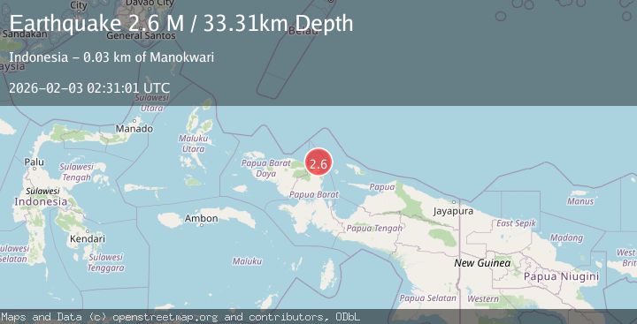
A 2.6 magnitude earthquake struck on West Papua Region, Indonesia, at Tue, 03 Feb 2026 02:31:01 GMT. Depth: 33.311558km. Reviewed by BMKG seismologists, this minor quake occurred at a magnitude type of M.
Magnitude
2.6
M
Source
BMKG
Intensity
-
Agency Reports
1 Sources| Source | Magnitude | Depth | Time |
|---|---|---|---|
| BMKGPrimary | 2.6 | 33 km | 1 hour ago |
Earthquake Details
AutomaticEvent IDbmg2026cimp
Tsunami PotentialNo
Magnitude TypeM
Nearest Places
- Tanjung Saweba19.3 km
- Kampung Tanah Rubuh19.7 km
- Nuni22.5 km
- Kampung Yoom II22.7 km
- Kampung Meyunfoka23.2 km
Comments
Join the discussion about this event.
Latest Earthquakes
4.4Mag
SOUTHERN PERU
Time1 hour ago
Depth196.00 km
SourceLIM (Automatic)
2.0Mag
POLAND
Time2 hours ago
Depth10.00 km
SourceIGPAS (Automatic)
3.0Mag
South of Java, Indonesia
Time2 hours ago
Depth5.00 km
SourceBMKG (Automatic)
3.4Mag
OFFSHORE EL SALVADOR
Time2 hours ago
Depth35.00 km
SourceINET (Automatic)
2.1Mag
Southern Sumatra, Indonesia
Time2 hours ago
Depth5.00 km
SourceBMKG (Automatic)
Nearby Earthquakes
3.9Mag
West Papua Region, Indonesia
Time6 days ago
Depth18.14 km
SourceBMKG (Automatic)
2.0Mag
West Papua Region, Indonesia
Time2 days ago
Depth10.00 km
SourceBMKG (Automatic)
2.2Mag
West Papua Region, Indonesia
Time5 days ago
Depth7.51 km
SourceBMKG (Automatic)
3.2Mag
West Papua Region, Indonesia
Time1 week ago
Depth21.74 km
SourceBMKG (Automatic)
2.4Mag
West Papua Region, Indonesia
Time1 week ago
Depth10.00 km
SourceBMKG (Automatic)