Earthquake MOLUCCA SEA
Mon, 19 Jan 2026 20:35:18 GMT
Time1 month ago
Location
1.3500, 126.1900
Depth
28.0 KM
Event Summary
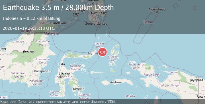
A 3.5 magnitude earthquake struck on MOLUCCA SEA, at Mon, 19 Jan 2026 20:35:18 GMT. Depth: 28km. Reviewed by BMKG seismologists, this minor quake occurred at a magnitude type of m.
Magnitude
3.5
m
Source
BMKG
Intensity
-
Agency Reports
1 Sources| Source | Magnitude | Depth | Time |
|---|---|---|---|
| BMKGPrimary | 3.5 | 28 km | 1 month ago |
Earthquake Details
AutomaticEvent IDemsc_BMKG_20260119_0000286
Tsunami PotentialNo
Magnitude Typem
Nearest Places
- Kelurahan Perum Bersatu18.9 km
- Pasirputih19.3 km
- Kelurahan Mayau20.7 km
- Kelurahan Lelewi21.9 km
- Kecamatan Pulau Batang Dua22.0 km
Comments
Join the discussion about this event.
Latest Earthquakes
3.1Mag
BOSNIA AND HERZEGOVINA
Time2 minutes ago
Depth10.00 km
SourceRHMS (Automatic)
2.2Mag
PORTUGAL
Time8 minutes ago
Depth12.00 km
SourceIPMA (Automatic)
4.2Mag
Fox Islands, Aleutian Islands, Alaska
Time8 minutes ago
Depth0.00 km
SourceVYT (Automatic)
1.8Mag
Sweden
Time9 minutes ago
Depth0.00 km
SourceVYT (Automatic)
2.0Mag
Bali Region, Indonesia
Time9 minutes ago
Depth73.97 km
SourceBMKG
Nearby Earthquakes
5.4Mag
MOLUCCA SEA
Time19 years ago
Depth30.00 km
SourceEMSC (Automatic)
3.0Mag
MOLUCCA SEA
Time8 months ago
Depth38.00 km
SourceBMKG (Automatic)
3.0Mag
MOLUCCA SEA
Time4 years ago
Depth10.00 km
SourceDJA (Automatic)
4.0Mag
MOLUCCA SEA
Time2 years ago
Depth26.00 km
SourceBMKG (Automatic)
3.0Mag
MOLUCCA SEA
Time2 years ago
Depth27.00 km
SourceBMKG (Automatic)