Earthquake MINAHASA, SULAWESI, INDONESIA
Tue, 20 Jan 2026 22:33:51 GMT
Time0 months ago
Location
0.4000, 122.0700
Depth
179.0 KM
Event Summary
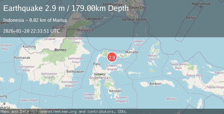
A 2.9 magnitude earthquake struck on MINAHASA, SULAWESI, INDONESIA, at Tue, 20 Jan 2026 22:33:51 GMT. Depth: 179km. Reviewed by BMKG seismologists, this minor quake occurred at a magnitude type of m.
Magnitude
2.9
m
Source
BMKG
Intensity
-
Agency Reports
1 Sources| Source | Magnitude | Depth | Time |
|---|---|---|---|
| BMKGPrimary | 2.9 | 179 km | 0 months ago |
Earthquake Details
AutomaticEvent IDemsc_BMKG_20260120_0000340
Tsunami PotentialNo
Magnitude Typem
Nearest Places
- Pulau Bitila5.2 km
- Dutula Bumbulan8.7 km
- Limbato8.9 km
- Lito Tomelo9.2 km
- Kelurahan Pentadu9.2 km
Comments
Join the discussion about this event.
Latest Earthquakes
2.5Mag
Bering Strait
Time14 hours ago
Depth200.07 km
SourceVYT (Automatic)
2.3Mag
Sumbawa Region, Indonesia
Time14 hours ago
Depth10.00 km
SourceBMKG
1.6Mag
13 km ENE of Falls City, Texas
Time14 hours ago
Depth7.18 km
SourceUSGS (Automatic)
1.5Mag
EASTERN TURKEY
Time14 hours ago
Depth7.00 km
SourceAFAD (Automatic)
1.3Mag
5 km S of Cabazon, CA
Time14 hours ago
Depth5.80 km
SourceUSGS (Automatic)
Nearby Earthquakes
2.4Mag
Minahassa Peninsula, Sulawesi
Time0 months ago
Depth60.37 km
SourceBMKG (Automatic)
2.3Mag
Minahassa Peninsula, Sulawesi
Time2 weeks ago
Depth50.17 km
SourceBMKG (Automatic)
3.0Mag
MINAHASA, SULAWESI, INDONESIA
Time1 year ago
Depth93.00 km
SourceBMKG (Automatic)
3.0Mag
MINAHASA, SULAWESI, INDONESIA
Time1 month ago
Depth178.00 km
SourceBMKG (Automatic)
5.9Mag
MINAHASA, SULAWESI, INDONESIA
Time8 years ago
Depth126.00 km
SourceEMSC (Automatic)