Earthquake Minahassa Peninsula, Sulawesi
Mon, 02 Feb 2026 18:44:18 GMT
Time1 hour ago
Location
0.4196, 122.0281
Depth
50.2 KM
Event Summary
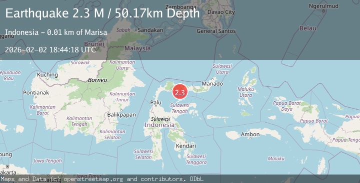
A 2.3 magnitude earthquake struck on Minahassa Peninsula, Sulawesi, at Mon, 02 Feb 2026 18:44:18 GMT. Depth: 50.167583km. Reviewed by BMKG seismologists, this minor quake occurred at a magnitude type of M.
Magnitude
2.3
M
Source
BMKG
Intensity
-
Agency Reports
1 Sources| Source | Magnitude | Depth | Time |
|---|---|---|---|
| BMKGPrimary | 2.3 | 50 km | 1 hour ago |
Earthquake Details
AutomaticEvent IDbmg2026chxe
Tsunami PotentialNo
Magnitude TypeM
Nearest Places
- Pohuwato5.9 km
- Lito Pomolia Kiki5.9 km
- Wulungiyo Tamboo6.4 km
- Bongotango6.5 km
- Lito Puntu6.7 km
Comments
Join the discussion about this event.
Latest Earthquakes
2.5Mag
Java, Indonesia
Time1 hour ago
Depth78.16 km
SourceBMKG (Automatic)
2.8Mag
WEST OF AUSTRALIA
Time1 hour ago
Depth10.00 km
SourceAUST (Automatic)
1.2Mag
17 km S of Tres Pinos, CA
Time1 hour ago
Depth6.76 km
SourceUSGS (Automatic)
2.3Mag
Northern Sumatra, Indonesia
Time1 hour ago
Depth35.32 km
SourceBMKG (Automatic)
1.6Mag
WESTERN TURKEY
Time1 hour ago
Depth8.00 km
SourceAFAD (Automatic)
Nearby Earthquakes
2.4Mag
Minahassa Peninsula, Sulawesi
Time1 week ago
Depth60.37 km
SourceBMKG (Automatic)
2.3Mag
Minahassa Peninsula, Sulawesi
Time2 days ago
Depth86.62 km
SourceBMKG (Automatic)
2.0Mag
Minahassa Peninsula, Sulawesi
Time1 week ago
Depth2.50 km
SourceBMKG (Automatic)
2.4Mag
Minahassa Peninsula, Sulawesi
Time1 week ago
Depth63.62 km
SourceBMKG (Automatic)
2.4Mag
Minahassa Peninsula, Sulawesi
Time4 days ago
Depth65.05 km
SourceBMKG (Automatic)