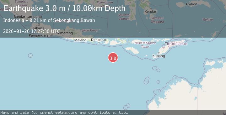
Earthquake SOUTH OF SUMBAWA, INDONESIA
Mon, 26 Jan 2026 17:27:30 GMT
Time18 hours ago
Location
-10.7800, 117.2100
Depth
10.0 KM
Event Summary
A 3.0 magnitude earthquake struck on SOUTH OF SUMBAWA, INDONESIA, at Mon, 26 Jan 2026 17:27:30 GMT. Depth: 10km. Reviewed by BMKG seismologists, this minor quake occurred at a magnitude type of m.
Magnitude
3.0
m
Source
BMKG
Intensity
-
Agency Reports
1 Sources| Source | Magnitude | Depth | Time |
|---|---|---|---|
| BMKGPrimary | 3.0 | 10 km | 18 hours ago |
Earthquake Details
AutomaticEvent IDemsc_BMKG_20260126_0000320
Tsunami PotentialNo
Magnitude Typem
Nearest Places
- Lombok Basin169.1 km
- Tanjung Talonan186.0 km
- Tanu Tanjunglilin187.1 km
- Tanjung Moneh188.4 km
- Tanjung Sarang Ode188.6 km
Comments
Join the discussion about this event.
Latest Earthquakes
2.5Mag
Flores Sea
Time18 hours ago
Depth38.21 km
SourceBMKG (Automatic)
3.5Mag
SOUTH ISLAND OF NEW ZEALAND
Time18 hours ago
Depth15.20 km
SourceGNS (Automatic)
2.4Mag
West Papua Region, Indonesia
Time18 hours ago
Depth10.00 km
SourceBMKG (Automatic)
0.9Mag
23 km SW of Snyder, Texas
Time18 hours ago
Depth3.41 km
SourceUSGS (Automatic)
2.1Mag
WESTERN TURKEY
Time19 hours ago
Depth11.90 km
SourceKOERI (Automatic)
Nearby Earthquakes
3.0Mag
South of Sumbawa, Indonesia
Time1 day ago
Depth35.20 km
SourceBMKG (Automatic)
2.3Mag
Sumbawa Region, Indonesia
Time2 days ago
Depth10.83 km
SourceBMKG (Automatic)
2.8Mag
Sumbawa Region, Indonesia
Time1 day ago
Depth72.60 km
SourceBMKG (Automatic)
2.5Mag
Sumbawa Region, Indonesia
Time4 days ago
Depth29.37 km
SourceBMKG (Automatic)
2.4Mag
Sumbawa Region, Indonesia
Time1 day ago
Depth24.27 km
SourceBMKG (Automatic)