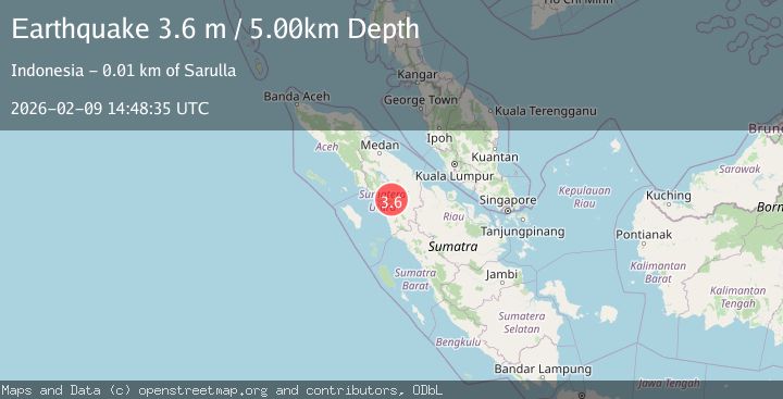
Earthquake NORTHERN SUMATRA, INDONESIA
Mon, 09 Feb 2026 14:48:35 GMT
Time1 week ago
Location
1.7500, 99.1800
Depth
5.0 KM
Event Summary
A 3.6 magnitude earthquake struck on NORTHERN SUMATRA, INDONESIA, at Mon, 09 Feb 2026 14:48:35 GMT. Depth: 5km. Reviewed by BMKG seismologists, this minor quake occurred at a magnitude type of m.
Magnitude
3.6
m
Source
BMKG
Intensity
-
Agency Reports
1 Sources| Source | Magnitude | Depth | Time |
|---|---|---|---|
| BMKGPrimary | 3.6 | 5 km | 1 week ago |
Earthquake Details
AutomaticEvent IDemsc_BMKG_20260209_0000423
Tsunami PotentialNo
Magnitude Typem
Nearest Places
- Aek na Bara1.3 km
- Aek Banduamas1.8 km
- Aek Talang1.9 km
- Tor Aek Nabara2.1 km
- Lumbangaroga2.3 km
Comments
Join the discussion about this event.
Latest Earthquakes
2.0Mag
Kenai Peninsula, Alaska
Time2 minutes ago
Depth72.27 km
SourceVYT (Automatic)
2.0Mag
Central Alaska
Time6 minutes ago
Depth216.92 km
SourceVYT (Automatic)
1.8Mag
Region Metropolitana, Chile
Time9 minutes ago
Depth14.89 km
SourceVYT (Automatic)
5.0Mag
Kepulauan Aru region, Indonesia
Time10 minutes ago
Depth0.00 km
SourceVYT (Automatic)
2.5Mag
Poland
Time10 minutes ago
Depth0.24 km
SourceVYT (Automatic)
Nearby Earthquakes
3.0Mag
NORTHERN SUMATRA, INDONESIA
Time5 months ago
Depth10.00 km
SourceBMKG (Automatic)
3.0Mag
NORTHERN SUMATRA, INDONESIA
Time2 years ago
Depth10.00 km
SourceDJA (Automatic)
3.0Mag
NORTHERN SUMATRA, INDONESIA
Time4 years ago
Depth10.00 km
SourceDJA (Automatic)
2.4Mag
Northern Sumatra, Indonesia
Time3 weeks ago
Depth2.17 km
SourceBMKG (Automatic)
3.0Mag
NORTHERN SUMATRA, INDONESIA
Time2 years ago
Depth10.00 km
SourceBMKG (Automatic)