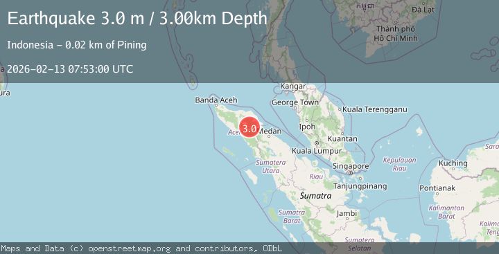
Earthquake NORTHERN SUMATRA, INDONESIA
Fri, 13 Feb 2026 07:53:00 GMT
Time6 days ago
Location
4.2000, 97.4500
Depth
3.0 KM
Event Summary
A 3.0 magnitude earthquake struck on NORTHERN SUMATRA, INDONESIA, at Fri, 13 Feb 2026 07:53:00 GMT. Depth: 3km. Reviewed by BMKG seismologists, this minor quake occurred at a magnitude type of m.
Magnitude
3.0
m
Source
BMKG
Intensity
-
Agency Reports
1 Sources| Source | Magnitude | Depth | Time |
|---|---|---|---|
| BMKGPrimary | 3.0 | 3 km | 6 days ago |
Earthquake Details
AutomaticEvent IDemsc_BMKG_20260213_0000178
Tsunami PotentialNo
Magnitude Typem
Nearest Places
- Gunung Gemiring1.5 km
- Gunung Lojang2.4 km
- Gunung Aber3.0 km
- Gunung Lembu3.0 km
- Arul Pepelah3.7 km
Comments
Join the discussion about this event.
Latest Earthquakes
2.3Mag
northwestern Russia
Time5 minutes ago
Depth0.00 km
SourceVYT (Automatic)
1.1Mag
7 km WSW of Corona, CA
Time6 minutes ago
Depth22.23 km
SourceUSGS (Automatic)
1.6Mag
60 km S of Whites City, New Mexico
Time7 minutes ago
Depth4.19 km
SourceUSGS (Automatic)
2.3Mag
Poland
Time12 minutes ago
Depth0.00 km
SourceVYT (Automatic)
2.5Mag
FRANCE
Time12 minutes ago
Depth5.00 km
SourceReNaSS (Automatic)
Nearby Earthquakes
4.3Mag
NORTHERN SUMATRA, INDONESIA
Time1 month ago
Depth10.00 km
SourceEMSC (Automatic)
2.2Mag
Northern Sumatra, Indonesia
Time0 months ago
Depth1.65 km
SourceBMKG (Automatic)
2.2Mag
Northern Sumatra, Indonesia
Time2 weeks ago
Depth10.00 km
SourceBMKG (Automatic)
2.1Mag
Northern Sumatra, Indonesia
Time1 week ago
Depth0.57 km
SourceBMKG (Automatic)
2.9Mag
Northern Sumatra, Indonesia
Time2 weeks ago
Depth5.00 km
SourceBMKG (Automatic)