Earthquake KEPULAUAN TALAUD, INDONESIA
Fri, 13 Feb 2026 13:11:07 GMT
Time6 days ago
Location
3.8600, 126.7000
Depth
10.0 KM
Event Summary
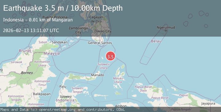
A 3.5 magnitude earthquake struck on KEPULAUAN TALAUD, INDONESIA, at Fri, 13 Feb 2026 13:11:07 GMT. Depth: 10km. Reviewed by BMKG seismologists, this minor quake occurred at a magnitude type of m.
Magnitude
3.5
m
Source
BMKG
Intensity
-
Agency Reports
1 Sources| Source | Magnitude | Depth | Time |
|---|---|---|---|
| BMKGPrimary | 3.5 | 10 km | 6 days ago |
Earthquake Details
AutomaticEvent IDemsc_BMKG_20260213_0000191
Tsunami PotentialNo
Magnitude Typem
Nearest Places
- Tanjung Sikata1.3 km
- Teluk Salibabu1.6 km
- Toadeh1.8 km
- Datume2.0 km
- Desa Dalum2.1 km
Comments
Join the discussion about this event.
Latest Earthquakes
2.2Mag
Sumbawa Region, Indonesia
Time3 minutes ago
Depth10.00 km
SourceBMKG
2.0Mag
Southern Alaska
Time9 minutes ago
Depth26.61 km
SourceVYT (Automatic)
2.8Mag
Central Alaska
Time14 minutes ago
Depth292.36 km
SourceVYT (Automatic)
1.0Mag
12 km ESE of Anza, CA
Time19 minutes ago
Depth18.49 km
SourceUSGS (Automatic)
3.2Mag
Molucca Sea
Time20 minutes ago
Depth0.12 km
SourceVYT (Automatic)
Nearby Earthquakes
5.2Mag
KEPULAUAN TALAUD, INDONESIA
Time17 years ago
Depth48.00 km
SourceEMSC (Automatic)
5.0Mag
KEPULAUAN TALAUD, INDONESIA
Time12 years ago
Depth43.00 km
SourceEMSC (Automatic)
5.3Mag
KEPULAUAN TALAUD, INDONESIA
Time16 years ago
Depth69.00 km
SourceEMSC (Automatic)
5.0Mag
KEPULAUAN TALAUD, INDONESIA
Time15 years ago
Depth60.00 km
SourceEMSC (Automatic)
5.3Mag
KEPULAUAN TALAUD, INDONESIA
Time16 years ago
Depth40.00 km
SourceEMSC (Automatic)