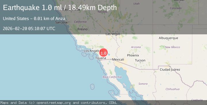
Earthquake 12 km ESE of Anza, CA
Fri, 20 Feb 2026 05:10:07 GMT
Time1 hour ago
Location
33.5238, -116.5480
Depth
18.5 KM
Event Summary
A 1.0 magnitude earthquake struck on 12 km ESE of Anza, CA, at Fri, 20 Feb 2026 05:10:07 GMT. Depth: 18.4899997711182km. Reviewed by USGS seismologists, this minor quake occurred at a magnitude type of ml.
Magnitude
1.0
ml
Source
USGS
Intensity
-
Agency Reports
1 Sources| Source | Magnitude | Depth | Time |
|---|---|---|---|
| USGSPrimary | 1.0 | 18 km | 1 hour ago |
Earthquake Details
AutomaticEvent IDusgs_ci41400280
Tsunami PotentialNo
Magnitude Typeml
Nearest Places
- Alkali Wash1.0 km
- Coyote Creek1.9 km
- Sulphur Spring2.4 km
- Garnet Queen Creek3.0 km
- Medicine Canyon3.2 km
Comments
Join the discussion about this event.
Latest Earthquakes
2.0Mag
Southern Alaska
Time1 hour ago
Depth26.61 km
SourceVYT (Automatic)
2.8Mag
Central Alaska
Time1 hour ago
Depth292.36 km
SourceVYT (Automatic)
3.2Mag
Molucca Sea
Time1 hour ago
Depth0.12 km
SourceVYT (Automatic)
1.0Mag
33 km SE of Minto, Alaska
Time1 hour ago
Depth8.60 km
SourceUSGS (Automatic)
2.3Mag
Potosi, Bolivia
Time1 hour ago
Depth166.38 km
SourceVYT (Automatic)
Nearby Earthquakes
0.8Mag
13 km ESE of Anza, CA
Time1 week ago
Depth13.15 km
SourceUSGS (Automatic)
2.1Mag
SOUTHERN CALIFORNIA
Time1 month ago
Depth12.40 km
SourceSCSN (Automatic)
3.0Mag
SOUTHERN CALIFORNIA
Time5 years ago
Depth15.00 km
SourceNEIC (Automatic)
3.0Mag
SOUTHERN CALIFORNIA
Time5 years ago
Depth17.00 km
SourceNEIC (Automatic)
1.9Mag
16 km ESE of Anza, CA
Time3 weeks ago
Depth13.37 km
SourceUSGS (Automatic)