Earthquake NEAR N COAST OF PAPUA, INDONESIA
Fri, 13 Feb 2026 17:45:33 GMT
Time5 days ago
Location
-2.7500, 139.2900
Depth
119.0 KM
Event Summary
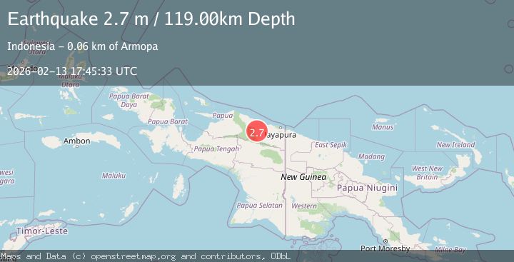
A 2.7 magnitude earthquake struck on NEAR N COAST OF PAPUA, INDONESIA, at Fri, 13 Feb 2026 17:45:33 GMT. Depth: 119km. Reviewed by BMKG seismologists, this minor quake occurred at a magnitude type of m.
Magnitude
2.7
m
Source
BMKG
Intensity
-
Agency Reports
1 Sources| Source | Magnitude | Depth | Time |
|---|---|---|---|
| BMKGPrimary | 2.7 | 119 km | 5 days ago |
Earthquake Details
AutomaticEvent IDemsc_BMKG_20260213_0000272
Tsunami PotentialNo
Magnitude Typem
Nearest Places
- Kampung Komra7.4 km
- Distrik Pantai Timur9.0 km
- Kampung Betaf Dua11.0 km
- Pegunungan Karamoor14.7 km
- Kampung Betaf18.6 km
Comments
Join the discussion about this event.
Latest Earthquakes
2.5Mag
Bering Strait
Time5 minutes ago
Depth200.07 km
SourceVYT (Automatic)
2.3Mag
Sumbawa Region, Indonesia
Time6 minutes ago
Depth10.00 km
SourceBMKG
1.6Mag
13 km ENE of Falls City, Texas
Time15 minutes ago
Depth7.18 km
SourceUSGS (Automatic)
1.5Mag
EASTERN TURKEY
Time18 minutes ago
Depth7.00 km
SourceAFAD (Automatic)
1.3Mag
5 km S of Cabazon, CA
Time18 minutes ago
Depth5.80 km
SourceUSGS (Automatic)
Nearby Earthquakes
3.0Mag
NEAR N COAST OF PAPUA, INDONESIA
Time5 months ago
Depth42.00 km
SourceBMKG (Automatic)
2.2Mag
Near North Coast of West Papua
Time2 weeks ago
Depth76.71 km
SourceBMKG (Automatic)
3.0Mag
NEAR N COAST OF PAPUA, INDONESIA
Time5 years ago
Depth14.00 km
SourceDJA (Automatic)
5.6Mag
NEAR N COAST OF PAPUA, INDONESIA
Time13 years ago
Depth48.00 km
SourceEMSC (Automatic)
3.0Mag
NEAR N COAST OF PAPUA, INDONESIA
Time2 months ago
Depth10.00 km
SourceBMKG (Automatic)