Earthquake KEPULAUAN TALAUD, INDONESIA
Fri, 13 Feb 2026 23:16:06 GMT
Time5 days ago
Location
3.9400, 126.8600
Depth
24.0 KM
Event Summary
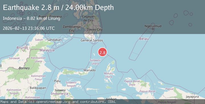
A 2.8 magnitude earthquake struck on KEPULAUAN TALAUD, INDONESIA, at Fri, 13 Feb 2026 23:16:06 GMT. Depth: 24km. Reviewed by BMKG seismologists, this minor quake occurred at a magnitude type of m.
Magnitude
2.8
m
Source
BMKG
Intensity
-
Agency Reports
1 Sources| Source | Magnitude | Depth | Time |
|---|---|---|---|
| BMKGPrimary | 2.8 | 24 km | 5 days ago |
Earthquake Details
AutomaticEvent IDemsc_BMKG_20260213_0000360
Tsunami PotentialNo
Magnitude Typem
Nearest Places
- Tule11.9 km
- Tanjung Manalantole11.9 km
- Tanjung Papalanpungan12.4 km
- Bowonibarua12.6 km
- Desa Tule Tengah13.3 km
Comments
Join the discussion about this event.
Latest Earthquakes
1.8Mag
8 km SSW of Dayton, Nevada
Time4 minutes ago
Depth2.65 km
SourceUSGS (Automatic)
1.4Mag
6 km SSW of Idyllwild, CA
Time9 minutes ago
Depth15.02 km
SourceUSGS (Automatic)
2.4Mag
western Texas
Time10 minutes ago
Depth6.10 km
SourceVYT (Automatic)
2.8Mag
Southern Alaska
Time13 minutes ago
Depth14.04 km
SourceVYT (Automatic)
2.4Mag
Southern Alaska
Time15 minutes ago
Depth139.28 km
SourceVYT (Automatic)
Nearby Earthquakes
4.0Mag
KEPULAUAN TALAUD, INDONESIA
Time5 years ago
Depth33.00 km
SourceDJA (Automatic)
5.1Mag
KEPULAUAN TALAUD, INDONESIA
Time11 years ago
Depth60.00 km
SourceEMSC (Automatic)
5.0Mag
KEPULAUAN TALAUD, INDONESIA
Time10 years ago
Depth10.00 km
SourceNEIC (Automatic)
5.1Mag
KEPULAUAN TALAUD, INDONESIA
Time9 years ago
Depth30.00 km
SourceEMSC (Automatic)
5.0Mag
KEPULAUAN TALAUD, INDONESIA
Time17 years ago
Depth86.00 km
SourceEMSC (Automatic)