Earthquake NEAR N COAST OF PAPUA, INDONESIA
Mon, 16 Feb 2026 16:49:44 GMT
Time4 days ago
Location
-0.5400, 131.8900
Depth
10.0 KM
Event Summary
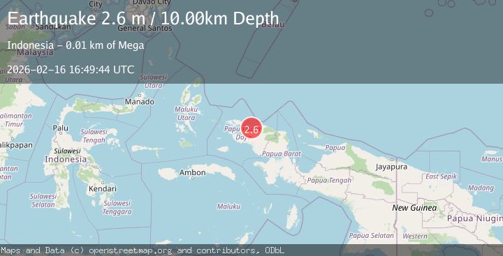
A 2.6 magnitude earthquake struck on NEAR N COAST OF PAPUA, INDONESIA, at Mon, 16 Feb 2026 16:49:44 GMT. Depth: 10km. Reviewed by BMKG seismologists, this minor quake occurred at a magnitude type of m.
Magnitude
2.6
m
Source
BMKG
Intensity
-
Agency Reports
1 Sources| Source | Magnitude | Depth | Time |
|---|---|---|---|
| BMKGPrimary | 2.6 | 10 km | 4 days ago |
Earthquake Details
AutomaticEvent IDemsc_BMKG_20260216_0000247
Tsunami PotentialNo
Magnitude Typem
Nearest Places
- Tanjung Sawasar12.0 km
- Kampung Bonem13.0 km
- Tanjung Kasbi13.4 km
- Mega13.9 km
- Gunung Ronde13.9 km
Comments
Join the discussion about this event.
Latest Earthquakes
2.2Mag
Antofagasta, Chile
Time1 minute ago
Depth0.00 km
SourceVYT (Automatic)
2.3Mag
Antofagasta, Chile
Time5 minutes ago
Depth106.32 km
SourceVYT (Automatic)
3.6Mag
Celebes Sea
Time8 minutes ago
Depth187.38 km
SourceVYT (Automatic)
2.5Mag
western Texas
Time14 minutes ago
Depth0.00 km
SourceVYT (Automatic)
3.3Mag
Java, Indonesia
Time16 minutes ago
Depth54.32 km
SourceVYT (Automatic)
Nearby Earthquakes
5.1Mag
NEAR N COAST OF PAPUA, INDONESIA
Time13 years ago
Depth30.00 km
SourceEMSC (Automatic)
2.5Mag
West Papua Region, Indonesia
Time0 months ago
Depth10.00 km
SourceBMKG (Automatic)
3.0Mag
NEAR N COAST OF PAPUA, INDONESIA
Time4 years ago
Depth11.00 km
SourceDJA (Automatic)
2.6Mag
NEAR N COAST OF PAPUA, INDONESIA
Time1 month ago
Depth10.00 km
SourceBMKG (Automatic)
5.1Mag
NEAR N COAST OF PAPUA, INDONESIA
Time14 years ago
Depth35.00 km
SourceEMSC (Automatic)