Earthquake SOUTHWEST OF SUMATRA, INDONESIA
Tue, 17 Feb 2026 08:05:39 GMT
Time2 days ago
Location
-6.3900, 103.9000
Depth
10.0 KM
Event Summary
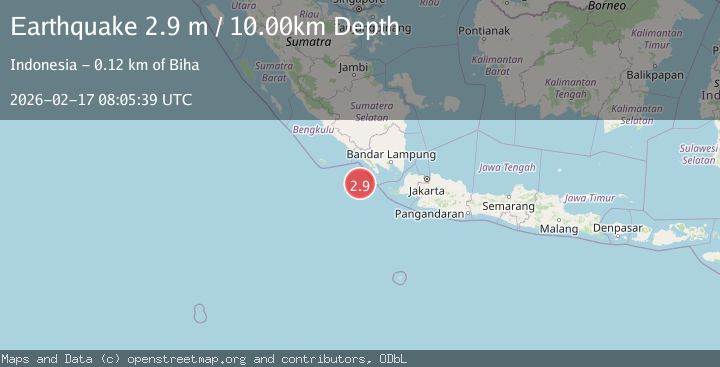
A 2.9 magnitude earthquake struck on SOUTHWEST OF SUMATRA, INDONESIA, at Tue, 17 Feb 2026 08:05:39 GMT. Depth: 10km. Reviewed by BMKG seismologists, this minor quake occurred at a magnitude type of m.
Magnitude
2.9
m
Source
BMKG
Intensity
-
Agency Reports
1 Sources| Source | Magnitude | Depth | Time |
|---|---|---|---|
| BMKGPrimary | 2.9 | 10 km | 2 days ago |
Earthquake Details
AutomaticEvent IDemsc_BMKG_20260217_0000128
Tsunami PotentialNo
Magnitude Typem
Nearest Places
- Enggano Basin46.4 km
- Tanjung Cuku Balimbing66.4 km
- Pulau Betuah81.6 km
- Cuku Belimbing89.8 km
- Belimbing89.9 km
Comments
Join the discussion about this event.
Latest Earthquakes
2.2Mag
Finland
Time49 seconds ago
Depth24.05 km
SourceVYT (Automatic)
2.7Mag
Central Alaska
Time1 minute ago
Depth0.00 km
SourceVYT (Automatic)
1.0Mag
Alaska Peninsula
Time3 minutes ago
Depth0.61 km
SourceVYT (Automatic)
2.0Mag
western Texas
Time3 minutes ago
Depth0.00 km
SourceVYT (Automatic)
2.8Mag
OFFSHORE EL SALVADOR
Time6 minutes ago
Depth18.00 km
SourceINET (Automatic)
Nearby Earthquakes
5.0Mag
SOUTHWEST OF SUMATRA, INDONESIA
Time13 years ago
Depth46.00 km
SourceEMSC (Automatic)
3.0Mag
SOUTHWEST OF SUMATRA, INDONESIA
Time1 month ago
Depth4.00 km
SourceBMKG (Automatic)
5.8Mag
SOUTHWEST OF SUMATRA, INDONESIA
Time15 years ago
Depth40.00 km
SourceEMSC (Automatic)
5.3Mag
SOUTHWEST OF SUMATRA, INDONESIA
Time15 years ago
Depth48.00 km
SourceEMSC (Automatic)
2.8Mag
Southwest of Sumatra, Indonesia
Time1 week ago
Depth10.00 km
SourceBMKG (Automatic)