Earthquake Southwest of Sumatra, Indonesia
Sat, 07 Feb 2026 02:31:16 GMT
Time1 hour ago
Location
-6.4473, 103.8544
Depth
10.0 KM
Event Summary
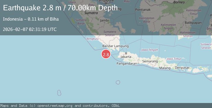
A 2.8 magnitude earthquake struck on Southwest of Sumatra, Indonesia, at Sat, 07 Feb 2026 02:31:16 GMT. Depth: 10km. Reviewed by BMKG seismologists, this minor quake occurred at a magnitude type of M.
Magnitude
2.8
M
Source
BMKG
Intensity
-
Agency Reports
1 Sources| Source | Magnitude | Depth | Time |
|---|---|---|---|
| BMKGPrimary | 2.8 | 70 km | 1 hour ago |
Earthquake Details
AutomaticEvent IDbmg2026cpup
Tsunami PotentialNo
Magnitude TypeM
Nearest Places
- Enggano Basin51.1 km
- Tanjung Cuku Balimbing71.4 km
- Pulau Betuah89.7 km
- Cuku Belimbing97.6 km
- Belimbing97.7 km
Comments
Join the discussion about this event.
Latest Earthquakes
1.9Mag
19 km NNE of Indio, CA
Time5 minutes ago
Depth2.60 km
SourceUSGS (Automatic)
1.6Mag
CROATIA
Time9 minutes ago
Depth14.50 km
SourceARSO (Automatic)
2.3Mag
ALBANIA
Time15 minutes ago
Depth15.00 km
SourceIGEO (Automatic)
2.5Mag
Minahassa Peninsula, Sulawesi
Time16 minutes ago
Depth34.22 km
SourceBMKG (Automatic)
1.5Mag
13 km W of Toms Place, CA
Time21 minutes ago
Depth4.97 km
SourceUSGS (Automatic)
Nearby Earthquakes
2.6Mag
Southwest of Sumatra, Indonesia
Time1 week ago
Depth10.00 km
SourceBMKG (Automatic)
3.3Mag
Southwest of Sumatra, Indonesia
Time6 days ago
Depth10.00 km
SourceBMKG (Automatic)
3.5Mag
Southwest of Sumatra, Indonesia
Time1 week ago
Depth27.10 km
SourceBMKG (Automatic)
3.3Mag
Southwest of Sumatra, Indonesia
Time1 week ago
Depth25.24 km
SourceBMKG (Automatic)
2.5Mag
Sunda Strait, Indonesia
Time1 week ago
Depth6.74 km
SourceBMKG (Automatic)